Dandenong North Area, Dandenong North Postcode(3175) & Map in Dandenong North, Melbourne - South East, VIC
Dandenong North Area, Dandenong North Postcode(3175) & Map in Dandenong North, Melbourne - South East, VIC, AU, Postcode: 3175
Dandenong North, Dandenong North, Dandenong, Melbourne - South East, Victoria, Australia, 3175
Dandenong North Postcode
Area Name
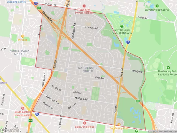
Dandenong NorthDandenong North Suburb Area Map (Polygon)

Dandenong North Introduction
Dandenong North is a suburb in Melbourne's south-east, 11 km from the CBD. It has a variety of shops, restaurants, and parks and is known for its beautiful gardens and forests. It is also home to the Dandenong Creek Trail, which is a popular walking and cycling route.State Name
City or Big Region
District or Regional Area
Suburb Name
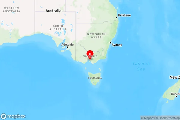
Dandenong North Region Map

Country
Main Region in AU
R1Coordinates
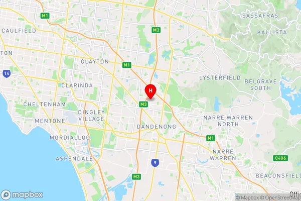
-37.9592436,145.206837 (latitude/longitude)Dandenong North Area Map (Street)

Longitude
145.208504Latitude
-38.016114Dandenong North Elevation
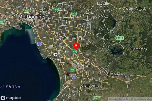
about 15.14 meters height above sea level (Altitude)Dandenong North Suburb Map (Satellite)

Distances
The distance from Dandenong North, Melbourne - South East, VIC to AU Greater Capital CitiesSA1 Code 2011
21204131223SA1 Code 2016
21204131223SA2 Code
212041312SA3 Code
21204SA4 Code
212RA 2011
1RA 2016
1MMM 2015
1MMM 2019
1Charge Zone
V1LGA Region
Greater DandenongLGA Code
22670Electorate
Isaacs