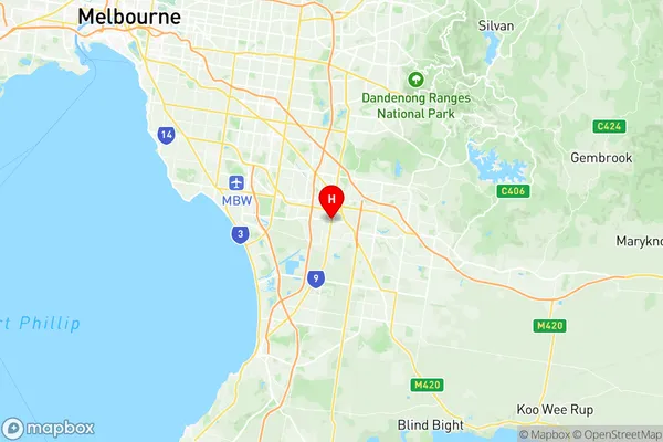
Dandenong Suburbs & Region, Dandenong Map & Postcodes
Dandenong Suburbs & Region, Dandenong Map & Postcodes in Dandenong, Melbourne South East, VIC, AU
Dandenong Region
Region Name
Dandenong (VIC, AU)Postal Codes
3164, 3175, and 8785 (In total, there are 3 postcodes in Dandenong.)Dandenong Introduction
Dandenong is a suburb in Melbourne's southeast, 11 kilometers from the city center. It is well-known for its beautiful gardens, such as the Dandenong Ranges National Park and the National Rhododendron Gardens. The suburb has a rich cultural heritage, with many historic buildings and museums, including the Dandenong Museum and the Chirnside Park Art Gallery. Dandenong is also home to a variety of industries, including manufacturing, technology, and tourism. It is a popular destination for outdoor activities, with many parks and reserves, including the Dandenong Creek Trail and the Mount Dandenong Tourist Park.Australia State
City or Big Region
District or Regional Area
Suburb Name
Dandenong Region Map

Dandenong Postcodes / Zip Codes
Dandenong Suburbs
Dandenong full address
Dandenong, Melbourne South East, Victoria, VIC, Australia, SaCode: 212041311Country
Dandenong, Melbourne South East, Victoria, VIC, Australia, SaCode: 212041311
Dandenong Suburbs & Region, Dandenong Map & Postcodes has 0 areas or regions above, and there are 6 Dandenong suburbs below. The sa2code for the Dandenong region is 212041311. Its latitude and longitude coordinates are -38.0147,145.215.
Dandenong Suburbs & Localities
1. Dandenong South
2. Dandenong
3. Dandenong East
4. Dandenong South
5. Dandenong South
6. Dandenong
