Ashburton Area, Ashburton Postcode(3147) & Map in Ashburton, Melbourne - Inner East, VIC
Ashburton Area, Ashburton Postcode(3147) & Map in Ashburton, Melbourne - Inner East, VIC, AU, Postcode: 3147
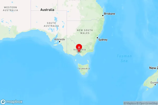
Ashburton, Ashburton (Vic.), Boroondara, Melbourne - Inner East, Victoria, Australia, 3147
Ashburton Postcode
Area Name
AshburtonAshburton Suburb Area Map (Polygon)

Ashburton Introduction
Ashburton is a suburb in Melbourne's inner east, located 7 kilometers from the CBD. It is known for its large shopping district, with several supermarkets, department stores, and specialty shops. The suburb also has a variety of parks and recreational facilities, including the Ashburton Aquatic Centre and the Ashburton Golf Club. It is well-serviced by public transport, with several bus routes and the EastLink train station located within walking distance.State Name
City or Big Region
District or Regional Area
Suburb Name
Ashburton Region Map

Country
Main Region in AU
R1Coordinates
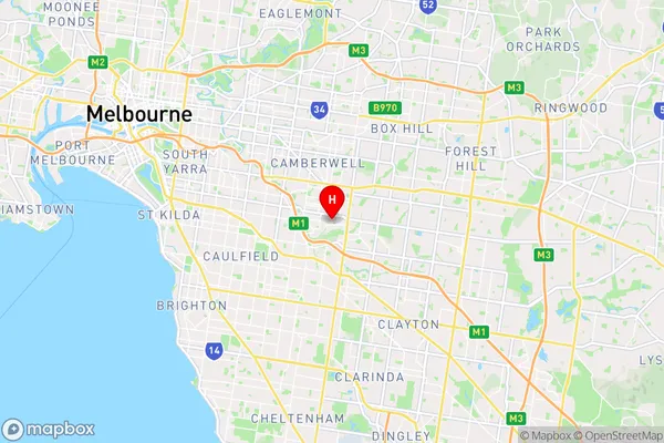
-37.866944,145.083056 (latitude/longitude)Ashburton Area Map (Street)

Longitude
145.092946Latitude
-37.867864Ashburton Elevation
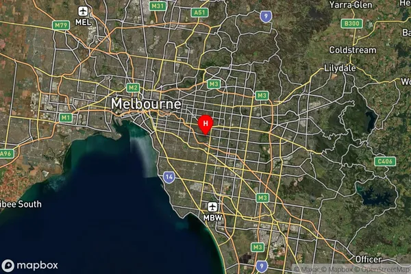
about 68.68 meters height above sea level (Altitude)Ashburton Suburb Map (Satellite)

Distances
The distance from Ashburton, Melbourne - Inner East, VIC to AU Greater Capital CitiesSA1 Code 2011
20701114616SA1 Code 2016
20701114616SA2 Code
207011146SA3 Code
20701SA4 Code
207RA 2011
1RA 2016
1MMM 2015
1MMM 2019
1Charge Zone
V1LGA Region
StonningtonLGA Code
26350Electorate
Higgins