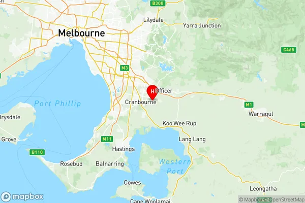
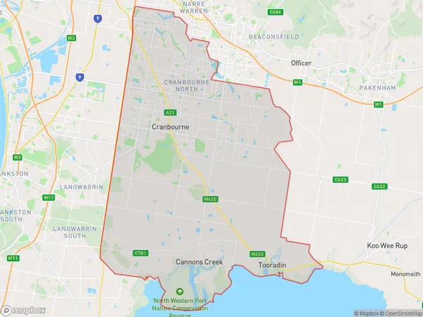
Casey South Suburbs & Region, Casey South Map & Postcodes
Casey South Suburbs & Region, Casey South Map & Postcodes in Casey South, Melbourne South East, VIC, AU
Casey South Region
Region Name
Casey South (VIC, AU)Casey South Area
292.93 square kilometers (292.93 ㎢)Postal Codes
3805, 3806, 3976, 3978, and 3980 (In total, there are 5 postcodes in Casey South.)Casey South Introduction
Casey South is a suburb in Melbourne's south-east, located 14 kilometers south-east of Melbourne's central business district. It is represented by the Legislative Assembly of Victoria as the electoral district of Casey. The suburb was named after Sir Charles Casey, who was Premier of Victoria from 1859 to 1861. Casey South has a population of approximately 17,000 people and is home to a variety of facilities, including a shopping center, a hospital, and several parks. The suburb is also well-connected to public transport, with several bus routes and a train station located within walking distance.Australia State
City or Big Region
District or Regional Area
Casey South Region Map

Casey South Postcodes / Zip Codes
Casey South Suburbs
Narre Warren North
Narre Warren South West
Cranbourne East
Cranbourne South
Hampton Park Lynbrook
Pearcedale Tooradin
Narre Warren South (East)
Narre Warren South West
Clyde North North
Clyde North South
Cranbourne East North
Cranbourne East South
Cranbourne North East
Cranbourne North West
Hampton Park East
Hampton Park West
Casey South full address
Casey South, Melbourne South East, Victoria, VIC, Australia, SaCode: 21203Country
Casey South, Melbourne South East, Victoria, VIC, Australia, SaCode: 21203
Casey South Suburbs & Region, Casey South Map & Postcodes has 18 areas or regions above, and there are 12 Casey South suburbs below. The sa3code for the Casey South region is 21203. Its latitude and longitude coordinates are -38.1063,145.348.
Casey South Suburbs & Localities
1. Harkaway
2. Berwick
3. Tooradin
4. Warneet
5. Blind Bight
6. Fountain Gate
7. Narre Warren South
8. Narre Warren
9. Hampton Park
10. Cardinia
11. Clyde North
12. Clyde
