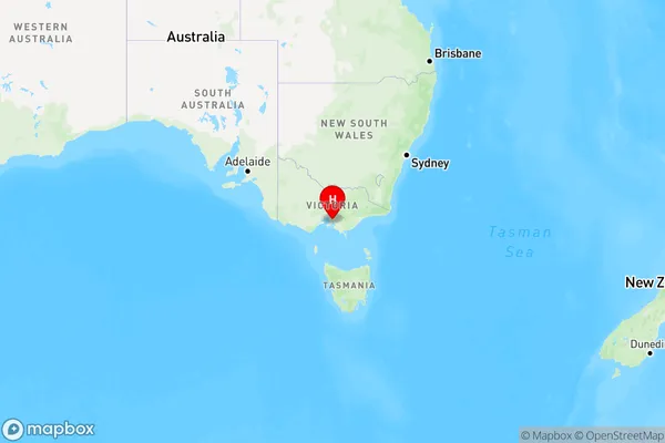
Clyde Area, Clyde Postcode(3978) & Map in Clyde, Melbourne - South East, VIC
Clyde Area, Clyde Postcode(3978) & Map in Clyde, Melbourne - South East, VIC, AU, Postcode: 3978
Clyde, Cranbourne South, Casey - South, Melbourne - South East, Victoria, Australia, 3978
Clyde Postcode
Area Name
ClydeClyde Suburb Area Map (Polygon)

Clyde Introduction
Clyde is a suburb in Melbourne's south-east, 12 kilometers from the CBD. It has a variety of shops, cafes, and parks and is well-connected to public transportation. The suburb has a diverse population and is home to many immigrants and young families. Clyde has a rich history and was once a major industrial hub. It is also home to the Clyde railway station, which is on the Frankston line.State Name
City or Big Region
District or Regional Area
Suburb Name
Clyde Region Map

Country
Main Region in AU
R3Coordinates
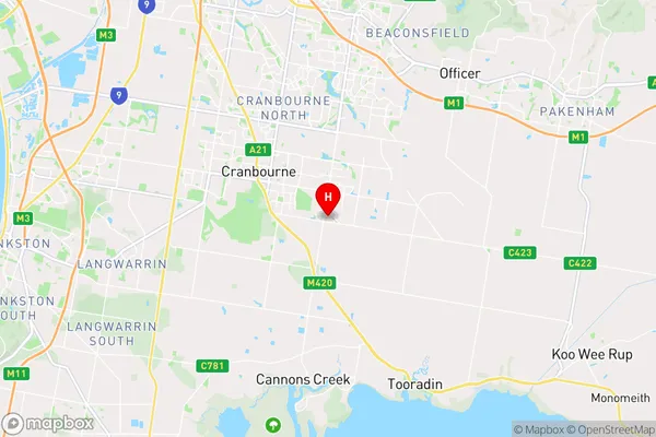
-38.132,145.327 (latitude/longitude)Clyde Area Map (Street)

Longitude
145.384606Latitude
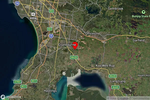
-38.135009Clyde Suburb Map (Satellite)

Distances
The distance from Clyde, Melbourne - South East, VIC to AU Greater Capital CitiesSA1 Code 2011
21203130310SA1 Code 2016
21203130310SA2 Code
212031303SA3 Code
21203SA4 Code
212RA 2011
1RA 2016
1MMM 2015
1MMM 2019
1Charge Zone
V1LGA Region
CaseyLGA Code
21610Electorate
Monash