Blind Bight Area, Blind Bight Postcode(3980) & Map in Blind Bight, Melbourne - South East, VIC
Blind Bight Area, Blind Bight Postcode(3980) & Map in Blind Bight, Melbourne - South East, VIC, AU, Postcode: 3980
Blind Bight, Pearcedale - Tooradin, Casey - South, Melbourne - South East, Victoria, Australia, 3980
Blind Bight Postcode
Area Name
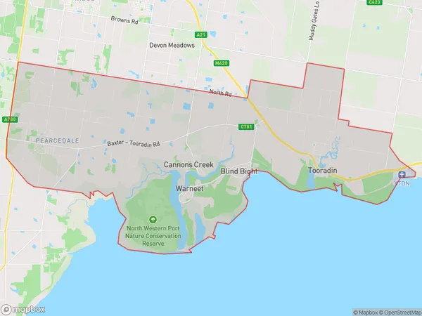
Blind BightBlind Bight Suburb Area Map (Polygon)

Blind Bight Introduction
Blind Bight is a small coastal town located in the South East of Victoria, Australia. It is known for its stunning beaches, clear waters, and picturesque scenery. The town is surrounded by the Great Ocean Road and the Otway Ranges, making it a popular destination for outdoor enthusiasts and nature lovers. The population of Blind Bight is approximately 1,000 people, and the town has a relaxed and laid-back atmosphere. It is home to a number of cafes, restaurants, and hotels, as well as a small supermarket and a medical center.State Name
City or Big Region
District or Regional Area
Suburb Name
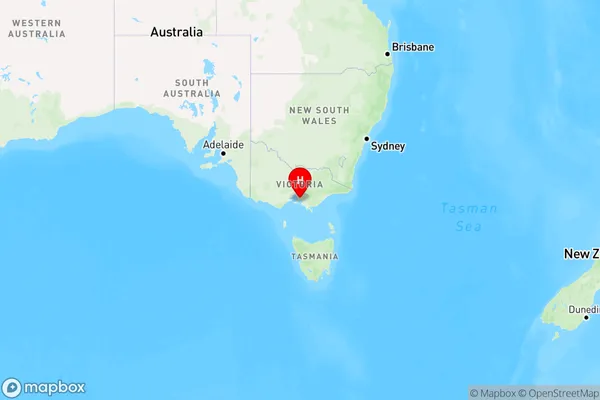
Blind Bight Region Map

Country
Main Region in AU
R3Coordinates
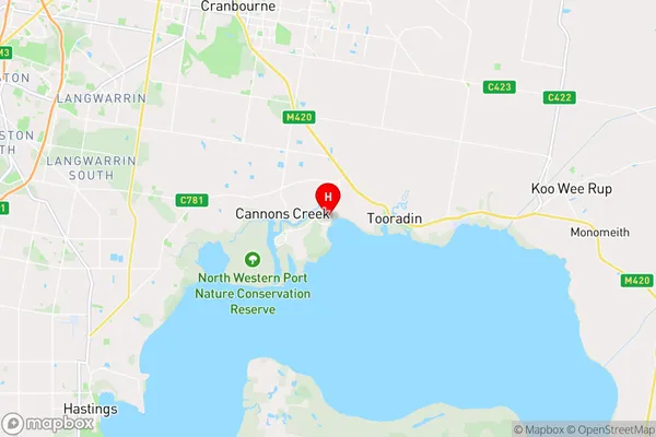
-38.2138627,145.339912 (latitude/longitude)Blind Bight Area Map (Street)

Longitude
145.356937Latitude
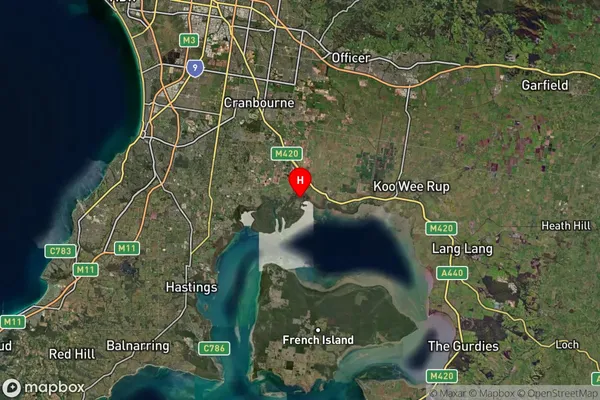
-38.204448Blind Bight Suburb Map (Satellite)

Distances
The distance from Blind Bight, Melbourne - South East, VIC to AU Greater Capital CitiesSA1 Code 2011
21203130813SA1 Code 2016
21203130813SA2 Code
212031308SA3 Code
21203SA4 Code
212RA 2011
1RA 2016
1MMM 2015
1MMM 2019
1Charge Zone
V1LGA Region
CaseyLGA Code
21610Electorate
Monash