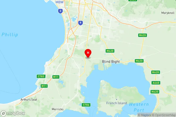
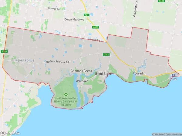
Pearcedale Tooradin Suburbs & Region, Pearcedale Tooradin Map & Postcodes
Pearcedale Tooradin Suburbs & Region, Pearcedale Tooradin Map & Postcodes in Pearcedale Tooradin, Casey South, Melbourne South East, VIC, AU
Pearcedale Tooradin Region
Region Name
Pearcedale Tooradin (VIC, AU)Pearcedale Tooradin Area
98.51 square kilometers (98.51 ㎢)Postal Codes
3912, 3977, and 3980 (In total, there are 3 postcodes in Pearcedale Tooradin.)Pearcedale Tooradin Introduction
Pearcedale Tooradin is a suburb in Melbourne, Victoria, Australia. It is located in the City of Bayside and is 10 kilometers southeast of Melbourne's central business district. The suburb has a population of around 10,000 people and is known for its scenic beach, tranquil parks, and vibrant community. Pearcedale Tooradin is home to a number of popular attractions, including the Pearcedale Golf Club, the Tooradin National Park, and the Tooradin Railway Station. The suburb is also well-connected to other parts of Melbourne, with easy access to the Monash Freeway and the South East Freeway.Australia State
City or Big Region
Greater Capital City
Greater Melbourne (2GMEL)District or Regional Area
Suburb Name
Pearcedale Tooradin Region Map

Pearcedale Tooradin Postcodes / Zip Codes
Pearcedale Tooradin Suburbs
Pearcedale Tooradin full address
Pearcedale Tooradin, Casey South, Melbourne South East, Victoria, VIC, Australia, SaCode: 212031308Country
Pearcedale Tooradin, Casey South, Melbourne South East, Victoria, VIC, Australia, SaCode: 212031308
Pearcedale Tooradin Suburbs & Region, Pearcedale Tooradin Map & Postcodes has 0 areas or regions above, and there are 5 Pearcedale Tooradin suburbs below. The sa2code for the Pearcedale Tooradin region is 212031308. Its latitude and longitude coordinates are -38.203,145.231. Pearcedale Tooradin area belongs to Australia's greater capital city Greater Melbourne.
Pearcedale Tooradin Suburbs & Localities
1. Pearcedale
2. Tooradin
3. Warneet
4. Blind Bight
5. Cannons Creek
