Adams Estate Area, Adams Estate Postcode(3984) & Map in Adams Estate, Latrobe - Gippsland, VIC
Adams Estate Area, Adams Estate Postcode(3984) & Map in Adams Estate, Latrobe - Gippsland, VIC, AU, Postcode: 3984
Adams Estate, Wonthaggi - Inverloch, Gippsland - South West, Latrobe - Gippsland, Victoria, Australia, 3984
Adams Estate Postcode
Area Name
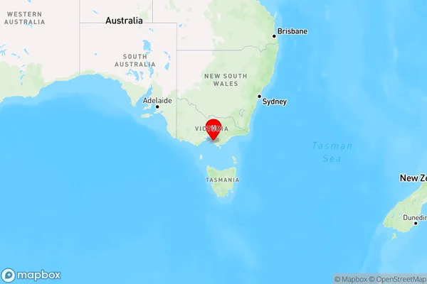
Adams EstateAdams Estate Suburb Area Map (Polygon)

Adams Estate Introduction
Adams Estate is a historic property located in Latrobe - Gippsland, Victoria, Australia. It is a significant example of the Victorian Gothic style of architecture and is listed on the Victorian Heritage Register. The estate was built in the 1880s for the wealthy Adams family and features a grand mansion, gardens, and outbuildings. The property has undergone extensive restoration and is now open to the public as a museum and tourist attraction.State Name
City or Big Region
District or Regional Area
Suburb Name
Adams Estate Region Map

Country
Main Region in AU
R3Coordinates
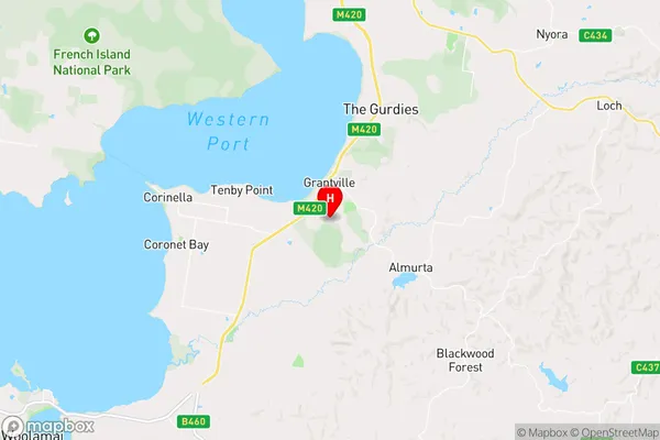
-38.4256676,145.5323505 (latitude/longitude)Adams Estate Area Map (Street)

Longitude
145.563979Latitude
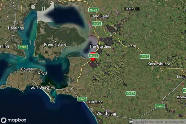
-38.312647Adams Estate Suburb Map (Satellite)

Distances
The distance from Adams Estate, Latrobe - Gippsland, VIC to AU Greater Capital CitiesSA1 Code 2011
20503109347SA1 Code 2016
20503109347SA2 Code
205031093SA3 Code
20503SA4 Code
205RA 2011
2RA 2016
2MMM 2015
5MMM 2019
5Charge Zone
V2LGA Region
Bass CoastLGA Code
20740Electorate
Monash