Cora Lynn Area, Cora Lynn Postcode(3814) & Map in Cora Lynn, Melbourne - South East, VIC
Cora Lynn Area, Cora Lynn Postcode(3814) & Map in Cora Lynn, Melbourne - South East, VIC, AU, Postcode: 3814
Cora Lynn, Bunyip - Garfield, Cardinia, Melbourne - South East, Victoria, Australia, 3814
Cora Lynn Postcode
Area Name
Cora LynnCora Lynn Suburb Area Map (Polygon)
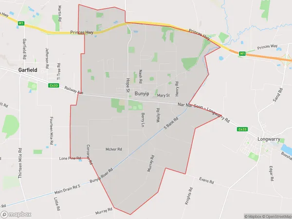
Cora Lynn Introduction
Cora Lynn is a suburb of Melbourne, located in the south-east of the state of Victoria, Australia. It is known for its natural beauty, including the Dandenong Ranges and the Yarra Valley. The suburb has a population of approximately 10,000 people and is home to a variety of shops, restaurants, and parks.State Name
City or Big Region
District or Regional Area
Suburb Name
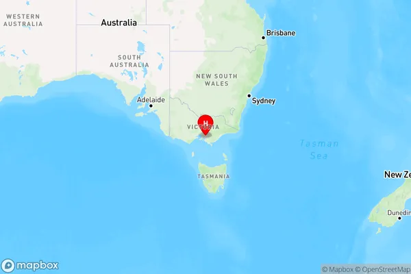
Cora Lynn Region Map
Country
Main Region in AU
R3Coordinates
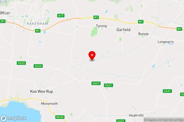
-38.145278,145.605833 (latitude/longitude)Cora Lynn Area Map (Street)
Longitude
145.669112Latitude
-38.10718Cora Lynn Elevation
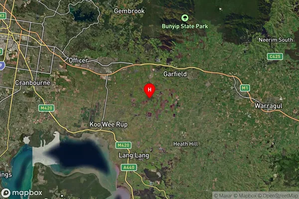
about 39.79 meters height above sea level (Altitude)Cora Lynn Suburb Map (Satellite)
Distances
The distance from Cora Lynn, Melbourne - South East, VIC to AU Greater Capital CitiesSA1 Code 2011
21201128806SA1 Code 2016
21201128806SA2 Code
212011288SA3 Code
21201SA4 Code
212RA 2011
2RA 2016
2MMM 2015
5MMM 2019
2Charge Zone
V2LGA Region
CardiniaLGA Code
21450Electorate
Monash