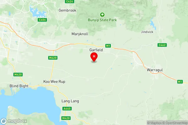
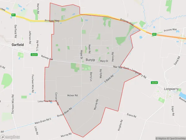
Bunyip Garfield Suburbs & Region, Bunyip Garfield Map & Postcodes
Bunyip Garfield Suburbs & Region, Bunyip Garfield Map & Postcodes in Bunyip Garfield, Cardinia, Melbourne South East, VIC, AU
Bunyip Garfield Region
Region Name
Bunyip Garfield (VIC, AU)Postal Codes
from 3812 to 3815, and 3981 (In total, there are 5 postcodes in Bunyip Garfield.)Bunyip Garfield Introduction
Bunyip Garfield is a locality in Melbourne's south-east, Victoria, Australia. It is located in the City of Monash local government area. The post office opened as Bunyip on 1 November 1924 and was closed on 1 March 1971. The name was changed to Garfield in 1972. The local primary school is Garfield Primary School.Australia State
City or Big Region
District or Regional Area
Suburb Name
Bunyip Garfield Region Map

Bunyip Garfield Postcodes / Zip Codes
Bunyip Garfield Suburbs
Bunyip Garfield full address
Bunyip Garfield, Cardinia, Melbourne South East, Victoria, VIC, Australia, SaCode: 212011288Country
Bunyip Garfield, Cardinia, Melbourne South East, Victoria, VIC, Australia, SaCode: 212011288
Bunyip Garfield Suburbs & Region, Bunyip Garfield Map & Postcodes has 0 areas or regions above, and there are 14 Bunyip Garfield suburbs below. The sa2code for the Bunyip Garfield region is 212011288. Its latitude and longitude coordinates are -38.1333,145.667.
Bunyip Garfield Suburbs & Localities
1. Cora Lynn
2. Nar Nar Goon North
3. Bunyip North
4. Koo Wee Rup North
5. Nar Nar Goon
6. Garfield
7. Vervale
8. Bunyip
9. Iona
10. Maryknoll
11. Tynong
12. Tynong North
13. Garfield North
14. Tonimbuk
