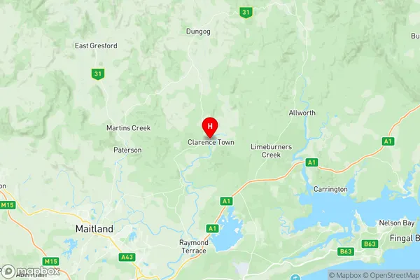
Dungog Suburbs & Region, Dungog Map & Postcodes
Dungog Suburbs & Region, Dungog Map & Postcodes in Dungog, Gippsland East, Latrobe Gippsland, NSW, AU
Dungog Region
Region Name
Dungog (NSW, AU)Dungog Area
2250 square kilometers (2,250 ㎢)Postal Codes
2311, 2321, 2420, 2421, and 3888 (In total, there are 5 postcodes in Dungog.)Australia State
City or Big Region
Greater Capital City
Rest of NSW (1RNSW)District or Regional Area
Suburb Name
Dungog Region Map

Dungog Postcodes / Zip Codes
Dungog Suburbs
Dungog full address
Dungog, Gippsland East, Latrobe Gippsland, New South Wales, NSW, Australia, SaCode: 106011110Country
Dungog, Gippsland East, Latrobe Gippsland, New South Wales, NSW, Australia, SaCode: 106011110
Dungog Suburbs & Region, Dungog Map & Postcodes has 0 areas or regions above, and there are 52 Dungog suburbs below. The sa2code for the Dungog region is 106011110. Its latitude and longitude coordinates are -32.585,151.778. Dungog area belongs to Australia's greater capital city Rest of NSW.
Dungog Suburbs & Localities
1. Gresford
2. Mount Rivers
3. Upper Allyn
4. Woerden
5. East Gresford
6. Lostock
7. Glen William
8. Allynbrook
9. Bingleburra
10. Carrabolla
11. Eccleston
12. Halton
13. Lewinsbrook
14. Clarence Town
15. Glen Martin
16. Bonnington Park
17. Alison
18. Bandon Grove
19. Brownmore
20. Dusodie
21. Hilldale
22. Main Creek
23. Wallarobba
24. Wirragulla
25. Bendolba
26. Brookfield
27. Cambra
28. Dingadee
29. Fosterton
30. Tabbil Creek
31. Fishers Hill
32. Paterson
33. Tocal
34. Vacy
35. Webbers Creek
36. Chichester
37. Hanleys Creek
38. Marshdale
39. Martins Creek
40. Sugarloaf
41. Tillegra
42. Underbank
43. Upper Chichester
44. Torryburn
45. Dungog
46. Flat Tops
47. Munni
48. Salisbury
49. Stroud Hill
50. Wallaringa
51. Summer Hill
52. Martins Creek
