Fishers Hill Area, Fishers Hill Postcode(2421) & Map in Fishers Hill, Hunter Valley exc Newcastle, NSW
Fishers Hill Area, Fishers Hill Postcode(2421) & Map in Fishers Hill, Hunter Valley exc Newcastle, NSW, AU, Postcode: 2421
Fishers Hill, Dungog, Lower Hunter, Hunter Valley exc Newcastle, New South Wales, Australia, 2421
Fishers Hill Postcode
Area Name
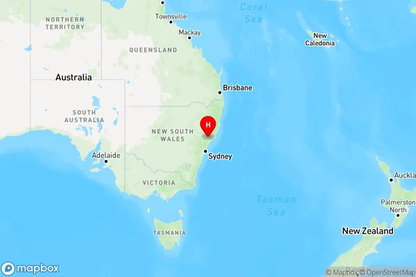
Fishers HillFishers Hill Suburb Area Map (Polygon)

Fishers Hill Introduction
Fishers Hill is a historic village located in the Hunter Valley, approximately 125 kilometers (78 miles) north of Sydney, New South Wales, Australia. It is situated on the banks of the Hunter River and is known for its beautiful gardens, historic buildings, and charming atmosphere. The village has a population of around 2,000 people and is a popular tourist destination, particularly during the spring and summer months. Visitors can explore the historic Fishers Hill Inn, visit the Fishers Hill Historic Garden, or take a stroll through the village's charming streets and parks.State Name
City or Big Region
District or Regional Area
Suburb Name
Fishers Hill Region Map

Country
Main Region in AU
R3Coordinates
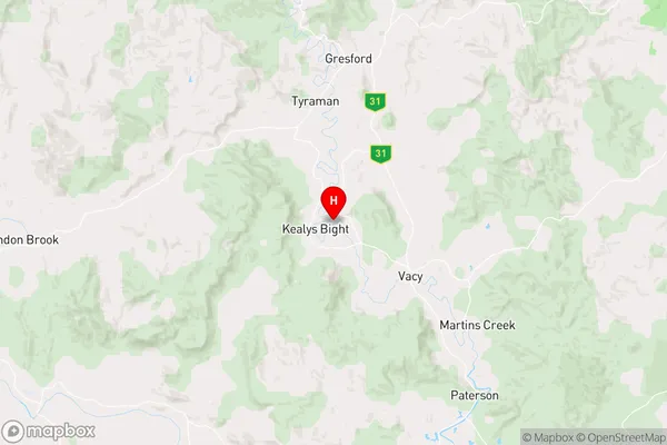
-32.5116014,151.5289663 (latitude/longitude)Fishers Hill Area Map (Street)

Longitude
151.543017Latitude
-32.601853Fishers Hill Elevation
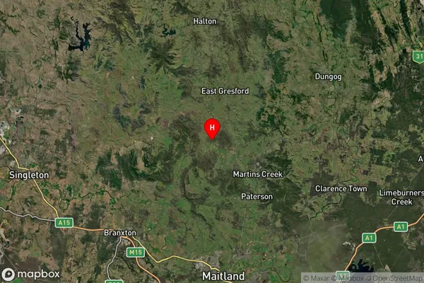
about 32.95 meters height above sea level (Altitude)Fishers Hill Suburb Map (Satellite)

Distances
The distance from Fishers Hill, Hunter Valley exc Newcastle, NSW to AU Greater Capital CitiesSA1 Code 2011
10601111013SA1 Code 2016
10601111013SA2 Code
106011110SA3 Code
10601SA4 Code
106RA 2011
2RA 2016
2MMM 2015
5MMM 2019
5Charge Zone
N2LGA Region
MaitlandLGA Code
15050Electorate
Lyne