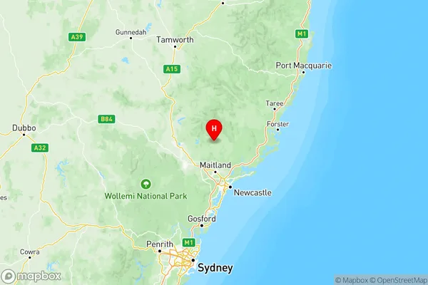
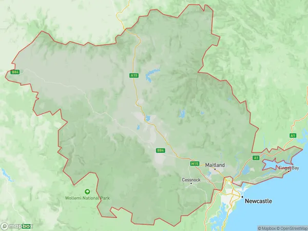
Hunter Valley exc Newcastle Suburbs & Region, Hunter Valley exc Newcastle Map & Postcodes
Hunter Valley exc Newcastle Suburbs & Region, Hunter Valley exc Newcastle Map & Postcodes in Hunter Valley exc Newcastle, NSW, AU
Hunter Valley exc Newcastle Region
Region Name
Hunter Valley exc Newcastle (NSW, AU)Hunter Valley exc Newcastle Area
21491 square kilometers (21,491 ㎢)Postal Codes
2311, from 2314 to 2317, from 2319 to 2321, from 2325 to 2329, 2331, from 2333 to 2336, 2421, and 2850 (In total, there are 20 postcodes in Hunter Valley exc Newcastle.)Australia State
City or Big Region
Hunter Valley exc Newcastle Region Map

Hunter Valley exc Newcastle Postcodes / Zip Codes
Hunter Valley exc Newcastle Suburbs
Hunter Valley exc Newcastle full address
Hunter Valley exc Newcastle, New South Wales, NSW, Australia, SaCode: 106Country
Hunter Valley exc Newcastle, New South Wales, NSW, Australia, SaCode: 106
Hunter Valley exc Newcastle Suburbs & Region, Hunter Valley exc Newcastle Map & Postcodes has 4 areas or regions above, and there are 264 Hunter Valley exc Newcastle suburbs below. The sa4code for the Hunter Valley exc Newcastle region is 106. Its latitude and longitude coordinates are -32.3484,151.53.
Hunter Valley exc Newcastle Suburbs & Localities
1. Sallys Flat
2. Uarbry
3. Rothbury
4. Dalwood
5. Harpers Hill
7. Lovedale
8. Gresford
9. Fishers Hill
10. Sawyers Gully
11. Kurri Kurri
12. Singleton Milpo
13. Liddell
14. Gan Gan
15. Anna Bay
16. Tanilba Bay
17. Salamander Bay
18. Williamtown Raaf
19. Dalswinton
20. Rouchel Brook
