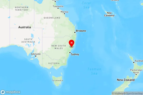
Main Creek Area, Main Creek Postcode(2420) & Map in Main Creek, Hunter Valley exc Newcastle, NSW
Main Creek Area, Main Creek Postcode(2420) & Map in Main Creek, Hunter Valley exc Newcastle, NSW, AU, Postcode: 2420
Main Creek, Dungog, Lower Hunter, Hunter Valley exc Newcastle, New South Wales, Australia, 2420
Main Creek Postcode
Area Name
Main CreekMain Creek Suburb Area Map (Polygon)

Main Creek Introduction
Main Creek, located in the Hunter Valley region of New South Wales, Australia, is a renowned wine-producing area known for its rich history and stunning landscapes. The creek flows through the valley, providing water to the region's vineyards and supporting the growth of premium wines such as Chardonnay, Cabernet Sauvignon, and Shiraz. The area has a temperate climate with warm summers and cool winters, ideal for grape cultivation. Main Creek has a rich cultural heritage, with several historic wineries and cellar doors located along its banks. Visitors can explore the picturesque countryside, taste the region's wines, and enjoy the many outdoor activities that the area offers, including hiking, cycling, and fishing.State Name
City or Big Region
District or Regional Area
Suburb Name
Main Creek Region Map

Country
Main Region in AU
R3Coordinates
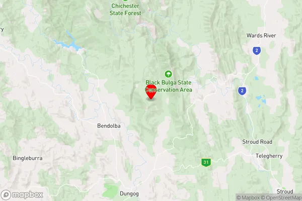
-32.2976651,151.7846188 (latitude/longitude)Main Creek Area Map (Street)

Longitude
151.685456Latitude
-32.239696Main Creek Elevation
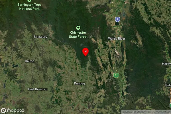
about 70.08 meters height above sea level (Altitude)Main Creek Suburb Map (Satellite)

Distances
The distance from Main Creek, Hunter Valley exc Newcastle, NSW to AU Greater Capital CitiesSA1 Code 2011
10601111015SA1 Code 2016
10601111015SA2 Code
106011110SA3 Code
10601SA4 Code
106RA 2011
2RA 2016
2MMM 2015
5MMM 2019
5Charge Zone
N2LGA Region
DungogLGA Code
12700Electorate
Lyne