Tillegra Area, Tillegra Postcode(2420) & Map in Tillegra, Hunter Valley exc Newcastle, NSW
Tillegra Area, Tillegra Postcode(2420) & Map in Tillegra, Hunter Valley exc Newcastle, NSW, AU, Postcode: 2420
Tillegra, Dungog, Lower Hunter, Hunter Valley exc Newcastle, New South Wales, Australia, 2420
Tillegra Postcode
Area Name
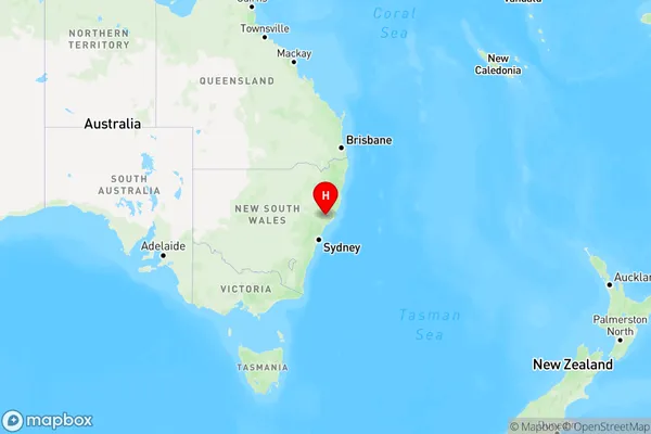
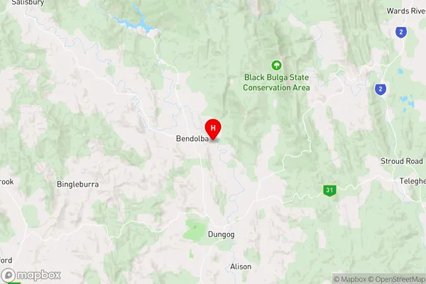
TillegraTillegra Suburb Area Map (Polygon)

Tillegra Introduction
Tillegra is a family-owned and operated vineyard in the Hunter Valley, New South Wales. It is known for its Shiraz and Cabernet Sauvignon wines. The vineyard has a picturesque setting and offers wine tastings and tours. Tillegra also has a restaurant that serves seasonal dishes made with local produce.State Name
City or Big Region
District or Regional Area
Suburb Name
Tillegra Region Map

Country
Main Region in AU
R3Coordinates
-32.3297,151.747 (latitude/longitude)Tillegra Area Map (Street)

Longitude
151.685456Latitude
-32.239696Tillegra Elevation
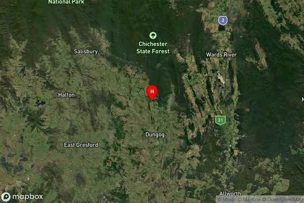
about 70.08 meters height above sea level (Altitude)Tillegra Suburb Map (Satellite)

Distances
The distance from Tillegra, Hunter Valley exc Newcastle, NSW to AU Greater Capital CitiesSA1 Code 2011
10601111015SA1 Code 2016
10601111015SA2 Code
106011110SA3 Code
10601SA4 Code
106RA 2011
2RA 2016
2MMM 2015
5MMM 2019
5Charge Zone
N2LGA Region
DungogLGA Code
12700Electorate
Lyne