Gippsland East Suburbs & Region, Gippsland East Map & Postcodes
Gippsland East Suburbs & Region, Gippsland East Map & Postcodes in Gippsland East, Latrobe Gippsland, VIC, AU
Gippsland East Region
Region Name
Gippsland East (VIC, AU)Gippsland East Area
21713 square kilometers (21,713 ㎢)Postal Codes
2633, 3699, 3701, 3707, 3864, 3865, 3878, 3882, from 3885 to 3893, 3895, 3896, 3898, 3900, and from 3902 to 3904 (In total, there are 24 postcodes in Gippsland East.)Gippsland East Introduction
Gippsland East is a locality in the Latrobe Valley region of Victoria, Australia. It is located in the Shire of Buloke local government area. The post office opened as Gippsland East on 1 August 1924 and was closed on 1 March 1971. The Gippsland East railway station was located on the South Gippsland line. The town is named after the East Gippsland region.Australia State
City or Big Region
District or Regional Area
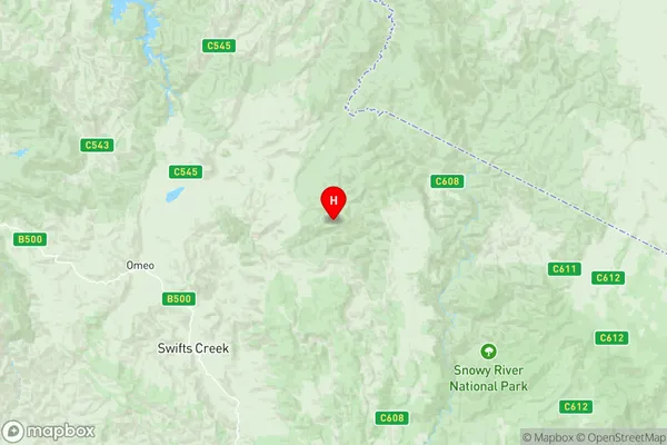
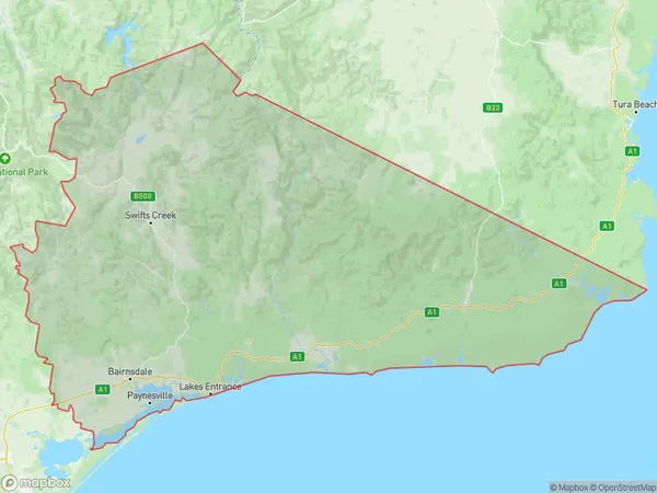
Gippsland East Region Map

Gippsland East Postcodes / Zip Codes
Gippsland East Suburbs
Bega-Eden Hinterland
Kilmore Broadford
Bright Mount Beauty
Gippsland East full address
Gippsland East, Latrobe Gippsland, Victoria, VIC, Australia, SaCode: 20502Country
Gippsland East, Latrobe Gippsland, Victoria, VIC, Australia, SaCode: 20502
Gippsland East Suburbs & Region, Gippsland East Map & Postcodes has 9 areas or regions above, and there are 137 Gippsland East suburbs below. The sa3code for the Gippsland East region is 20502. Its latitude and longitude coordinates are -37.0161,148.07.
Gippsland East Suburbs & Localities
1. Delegate
2. Tombong
3. Corrowong
4. Falls Creek
5. Dartmouth
6. Mitta Mitta
7. Shelley
8. Towong Upper
9. Eskdale
10. Granya
11. Colac Colac
12. Thowgla Valley
13. Tom Groggin
14. Bogong
15. Nelse
16. Old Tallangatta
17. Tallangatta South
18. Tallangatta Valley
19. Bringenbrong
20. Corryong
21. Towong
22. Mount Beauty
23. Fernvale
24. Granite Flat
25. Tallandoon
26. Biggara
27. Nariel Valley
28. Glenaladale
29. The Fingerboard
30. Fernbank
31. Lindenow
32. Gelantipy
33. Tambo Upper
34. Timbarra
35. Wulgulmerang East
36. Wulgulmerang West
37. Nowa Nowa
38. Delegate River
39. Delegate River East
40. Jarrahmond
41. Omeo Valley
42. Cabbage Tree Creek
43. Buldah
44. Noorinbee North
45. Tamboon
46. Tonghi Creek
47. Doctors Flat
48. Ensay North
49. Bindi
50. Brookville
51. Swifts Creek
52. Tongio
53. Cobungra
54. Omeo Valley
55. Uplands
56. Suggan Buggan
57. Wulgulmerang
58. Newmerella
59. Bete Bolong
60. Lochend
61. Marlo
62. Martins Creek
63. Tostaree
64. Wombat Creek
65. Chandlers Creek
66. Noorinbee
67. Gipsy Point
68. Maramingo Creek
69. Wallagaraugh
70. Wangarabell
71. Stirling
72. Ensay
73. Anglers Rest
74. Cassilis
75. Glen Valley
76. Omeo
77. Shannonvale
78. Benambra
79. Cobberas
80. Bumberrah
81. Swan Reach
82. Nicholson
83. Brumby
84. Buchan
85. Buchan South
86. Butchers Ridge
87. Mossiface
88. Murrindal
89. W Tree
90. Yalmy
91. Lake Tyers
92. Bendoc
93. Deddick Valley
94. Haydens Bog
95. Tubbut
96. Waygara
97. Combienbar
98. Errinundra
99. Manorina
100. Genoa
101. Wingan River
102. Double Bridges
103. Reedy Creek
104. Bundara
105. Eagle Point
106. Bruthen
107. Wiseleigh
108. Wairewa
109. Bete Bolong North
110. Bonang
111. Brodribb River
112. Cabanandra
113. Cape Conran
114. Corringle
115. Dellicknora
116. Goongerah
117. Nurran
118. Orbost
119. Simpsons Creek
120. Bell Bird Creek
121. Bellbird Creek
122. Bemm River
123. Club Terrace
124. Cann River
125. Weeragua
126. Wroxham
127. Mallacoota
128. Tambo Crossing
129. Reedy Flat
130. Nunniong
131. Bingo
132. Bingo Munjie
133. Dinner Plain
134. Glen Wills
135. Hinnomunjie
136. Johnsonville
137. Metung
