Buldah Area, Buldah Postcode(3890) & Map in Buldah, Latrobe - Gippsland, VIC
Buldah Area, Buldah Postcode(3890) & Map in Buldah, Latrobe - Gippsland, VIC, AU, Postcode: 3890
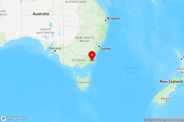
Buldah, Orbost, Gippsland - East, Latrobe - Gippsland, Victoria, Australia, 3890
Buldah Postcode
Area Name
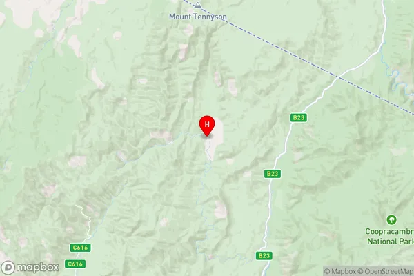
BuldahBuldah Suburb Area Map (Polygon)

Buldah Introduction
Buldah is a small town in Gippsland, Victoria, Australia, located on the Latrobe River. It is known for its scenic beauty, including the Buldah Wetlands and the Buldah State Forest. The town has a population of around 1,000 people and is a popular destination for fishing, camping, and hiking.State Name
City or Big Region
District or Regional Area
Suburb Name
Buldah Region Map
Country
Main Region in AU
R3Coordinates
-37.2788614,149.1440045 (latitude/longitude)Buldah Area Map (Street)
Longitude
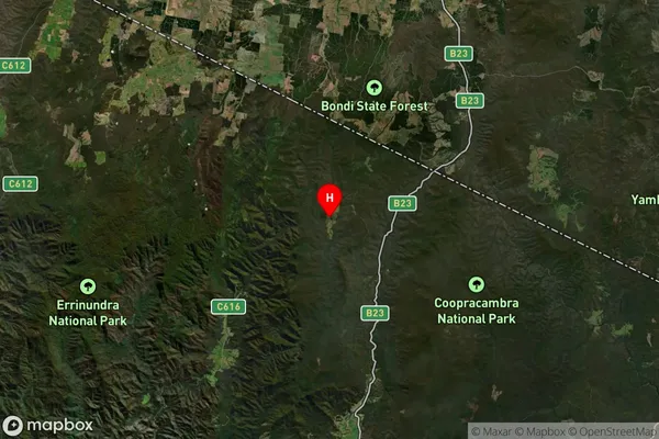
149.217216Latitude
-37.566489Buldah Elevation
about 101.38 meters height above sea level (Altitude)Buldah Suburb Map (Satellite)
Distances
The distance from Buldah, Latrobe - Gippsland, VIC to AU Greater Capital CitiesSA1 Code 2011
20502108512SA1 Code 2016
20502108512SA2 Code
205021085SA3 Code
20502SA4 Code
205RA 2011
4RA 2016
4MMM 2015
6MMM 2019
6Charge Zone
V2LGA Region
East GippslandLGA Code
22110Electorate
Gippsland