Fernvale Area, Fernvale Postcode(3701) & Map in Fernvale, Ipswich, VIC
Fernvale Area, Fernvale Postcode(3701) & Map in Fernvale, Ipswich, VIC, AU, Postcode: 3701
Fernvale, Lowood, Ipswich Hinterland, Ipswich, Victoria, Australia, 3701
Fernvale Postcode
Area Name
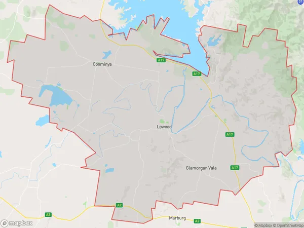
FernvaleFernvale Suburb Area Map (Polygon)

Fernvale Introduction
Fernvale is a suburb in Ipswich, Queensland, Australia. It is located 11 kilometers west of the Ipswich central business district. Fernvale is a planned community with a variety of housing styles, including single-family homes, duplexes, and apartments. It has a number of parks and recreational facilities, including a golf course, a swimming pool, and a sports complex. Fernvale is also home to a number of businesses and industries, including a large shopping center and a manufacturing plant.State Name
City or Big Region
District or Regional Area
Suburb Name
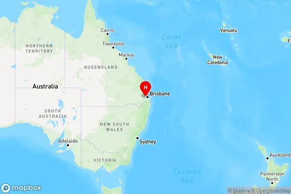
Fernvale Region Map

Country
Main Region in AU
R3Coordinates
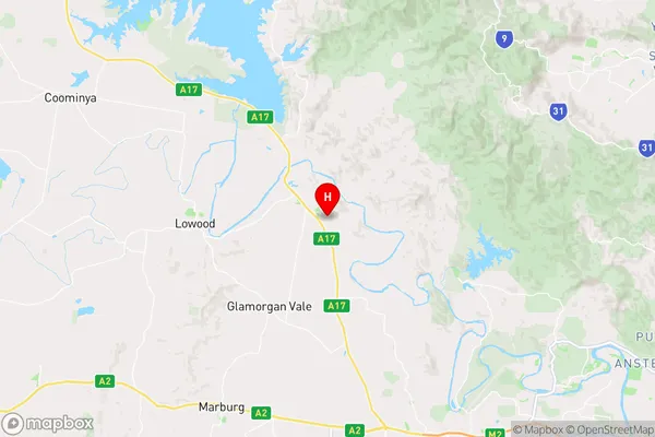
-27.4595799,152.663801 (latitude/longitude)Fernvale Area Map (Street)

Longitude
147.476819Latitude
-36.638769Fernvale Elevation
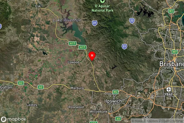
about 969.87 meters height above sea level (Altitude)Fernvale Suburb Map (Satellite)

Distances
The distance from Fernvale, Ipswich, VIC to AU Greater Capital CitiesSA1 Code 2011
31002128119SA1 Code 2016
31002128119SA2 Code
310021281SA3 Code
31002SA4 Code
310RA 2011
2RA 2016
2MMM 2015
2MMM 2019
2Charge Zone
V2LGA Region
TowongLGA Code
26670Electorate
Indi