Upper Allyn Area, Upper Allyn Postcode(2311) & Map in Upper Allyn, Hunter Valley exc Newcastle, NSW
Upper Allyn Area, Upper Allyn Postcode(2311) & Map in Upper Allyn, Hunter Valley exc Newcastle, NSW, AU, Postcode: 2311
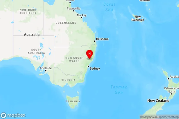
Upper Allyn, Dungog, Lower Hunter, Hunter Valley exc Newcastle, New South Wales, Australia, 2311
Upper Allyn Postcode
Area Name
Upper AllynUpper Allyn Suburb Area Map (Polygon)

Upper Allyn Introduction
Upper Allyn is a small town in the Hunter Valley region of New South Wales, Australia, located approximately 120 kilometers north of Newcastle. It is known for its scenic countryside, including rolling hills, vineyards, and wineries. The town has a population of around 5,000 people and is a popular destination for tourists and locals alike.State Name
City or Big Region
District or Regional Area
Suburb Name
Upper Allyn Region Map
Country
Main Region in AU
R3Coordinates
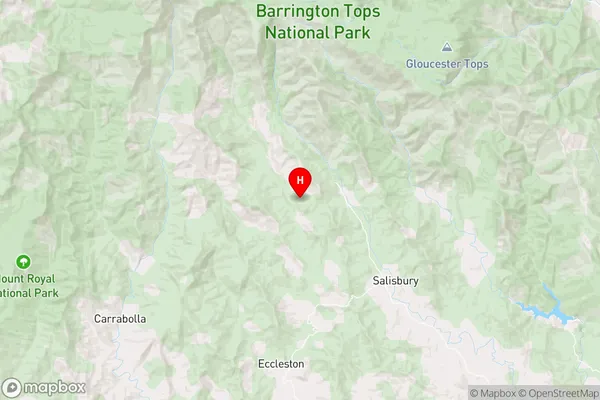
-32.1681325,151.5022211 (latitude/longitude)Upper Allyn Area Map (Street)
Longitude
151.4607343Latitude
-32.14597291Upper Allyn Elevation
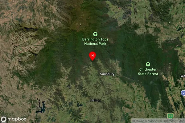
about 668.39 meters height above sea level (Altitude)Upper Allyn Suburb Map (Satellite)
Distances
The distance from Upper Allyn, Hunter Valley exc Newcastle, NSW to AU Greater Capital CitiesSA1 Code 2011
10601111016SA1 Code 2016
10601111016SA2 Code
106011110SA3 Code
10601SA4 Code
106RA 2011
3RA 2016
3MMM 2015
5MMM 2019
5Charge Zone
N2LGA Region
DungogLGA Code
12700Electorate
Lyne