Bandon Grove Area, Bandon Grove Postcode(2420) & Map in Bandon Grove, Hunter Valley exc Newcastle, NSW
Bandon Grove Area, Bandon Grove Postcode(2420) & Map in Bandon Grove, Hunter Valley exc Newcastle, NSW, AU, Postcode: 2420
Bandon Grove, Dungog, Lower Hunter, Hunter Valley exc Newcastle, New South Wales, Australia, 2420
Bandon Grove Postcode
Area Name
Bandon GroveBandon Grove Suburb Area Map (Polygon)

Bandon Grove Introduction
Bandon Grove is a historic house located in the Hunter Valley region of New South Wales, Australia. It is a two-story Georgian-style mansion built in the 1830s and is situated on 100 acres of land. The house features a symmetrical facade with a central portico and is surrounded by lush gardens and farmland. Bandon Grove has been extensively restored and is now a popular tourist destination and event venue. It is also listed on the New South Wales State Heritage Register.State Name
City or Big Region
District or Regional Area
Suburb Name
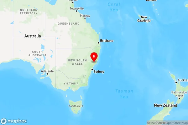
Bandon Grove Region Map

Country
Main Region in AU
R3Coordinates
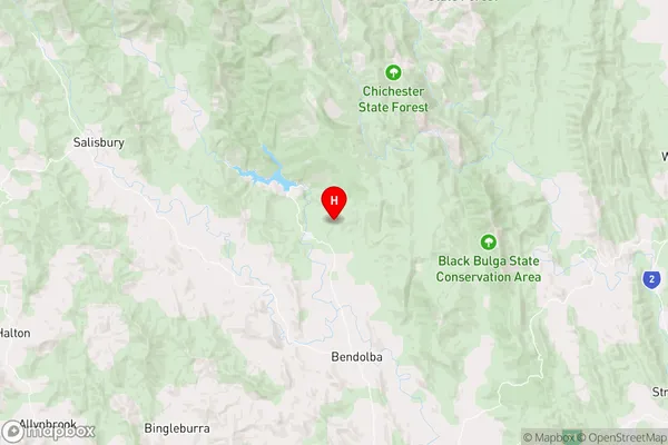
-32.2568335,151.7129877 (latitude/longitude)Bandon Grove Area Map (Street)

Longitude
151.685456Latitude
-32.239696Bandon Grove Elevation
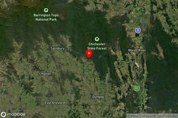
about 70.08 meters height above sea level (Altitude)Bandon Grove Suburb Map (Satellite)

Distances
The distance from Bandon Grove, Hunter Valley exc Newcastle, NSW to AU Greater Capital CitiesSA1 Code 2011
10601111017SA1 Code 2016
10601111017SA2 Code
106011110SA3 Code
10601SA4 Code
106RA 2011
3RA 2016
3MMM 2015
5MMM 2019
5Charge Zone
N2LGA Region
DungogLGA Code
12700Electorate
Lyne