Huntly Suburbs & Region, Huntly Map & Postcodes in Huntly, Waikato, Waikato
Huntly Postcodes, Huntly ZipCodes, Huntly , Huntly Waikato, Huntly Suburbs, Huntly Region, Huntly Map, Huntly Area
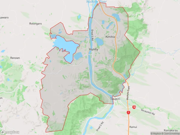
Huntly Region (Huntly West, Kimihia, Mahuta, Te Kauri, Weavers Crossing, Westmere Region)
Huntly Suburbs
Huntly is a city place type in Waikato, Waikato, NZ. It contains 12 suburbs or localities.Huntly Postcodes
Huntly district
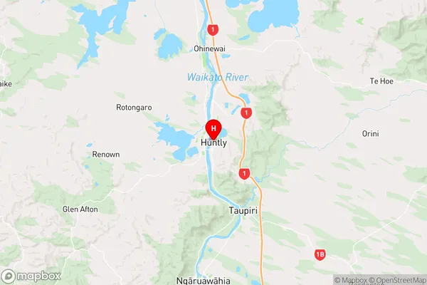
WaikatoHuntly Region Map
Huntly Introduction
Huntly is a town in Waikato, New Zealand, with a population of around 5,000 people. It is located on the banks of the Waikato River, approximately 40 kilometers south of Hamilton. Huntly is known for its coal-mining heritage and has a number of historic buildings and sites. The town also has a popular golf course and a variety of recreational facilities, including a swimming pool and a sports stadium.Huntly Region
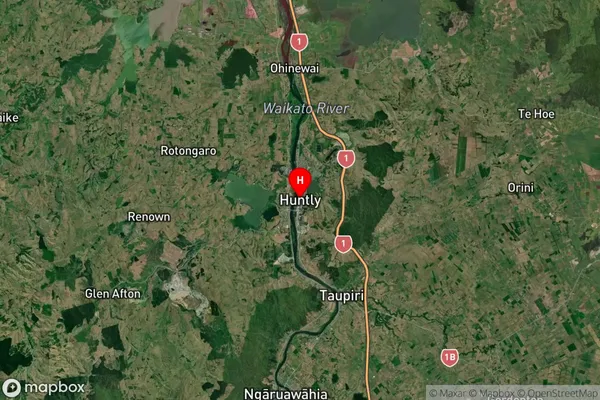
Huntly Satellite Map
Full Address
Huntly, Waikato, WaikatoHuntly Coordinates
-37.560631,175.159976 (Latitude / Longitude)Huntly Map in NZ
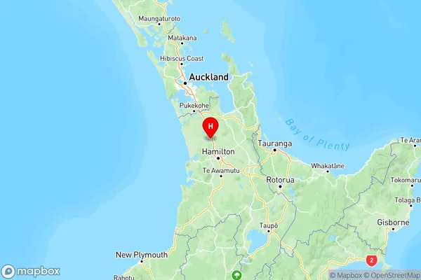
NZ Island
North IslandCountry
Huntly Area Map (Polygon)
Name
HuntlyAdditional Name
Huntly West, Kimihia, Mahuta, Te Kauri, Weavers Crossing, WestmereLocal Authority
Waikato District
Huntly Suburbs (Sort by Population)
Huntly
Huntly - 9659Ohinewai
Ohinewai - 303Rotongaro
Rotongaro - 289Ruawaro
Ruawaro - 268Waikokowai
Waikokowai - 207Glen Afton
Glen Afton - 180Te Ohaki
Te Ohaki - 169Churchill
Churchill - 163Rangiriri West
Rangiriri West - 153Rotowaro
Rotowaro - 127Naike
Naike - 88Pepepe
Pepepe - 81
Huntly Suburbs (Sort in alphabetical)
Pukekapia