Huntly Area, Huntly Postcode(3700) & Map in Huntly
Huntly Area, Huntly Postcode(3700) & Map in Huntly, Waikato District, New Zealand
Huntly, Waikato District, New Zealand
Huntly Postcodes
Huntly Area (estimated)
113.3 square kilometersHuntly Population (estimated)
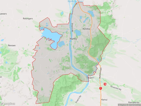
9659 people live in Huntly, Waikato, NZHuntly Suburb Area Map (Polygon)
Huntly Introduction
Huntly is a town in Waikato, New Zealand, with a population of around 4,000 people. It is known for its coal-mining heritage and historic buildings, including the Huntly Power Station. The town is located on the banks of the Waikato River and is surrounded by picturesque countryside. It is also home to a number of popular tourist attractions, including the Huntly Castle and the Huntly Museum.Region
Major City
Suburb Name
HuntlyOther Name(s)
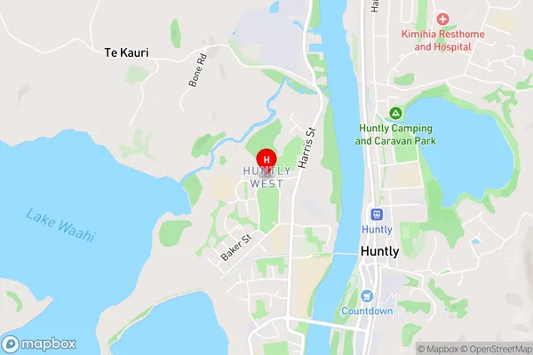
Huntly West, Kimihia, Mahuta, Te Kauri, Weavers Crossing, WestmereHuntly Area Map (Street)
Local Authority
Waikato DistrictFull Address
Huntly, Waikato District, New ZealandAddress Type
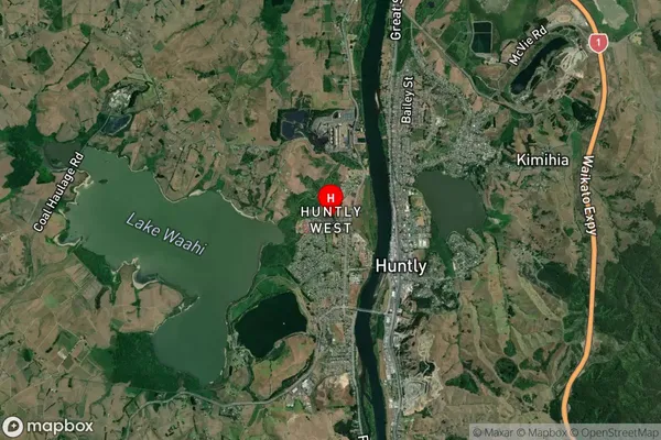
Suburb in Town HuntlyHuntly Suburb Map (Satellite)
Country
Main Region in AU
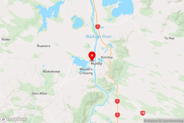
WaikatoHuntly Region Map
Coordinates
-37.554983,175.1490445 (latitude/longitude)Distances
The distance from Huntly, Huntly, Waikato District to NZ Top 10 Cities