Glen Afton Area, Glen Afton Postcode(3771) & Map in Glen Afton
Glen Afton Area, Glen Afton Postcode(3771) & Map in Glen Afton, Waikato District, New Zealand
Glen Afton, Waikato District, New Zealand
Glen Afton Postcodes
Glen Afton Area (estimated)
12.2 square kilometersGlen Afton Population (estimated)
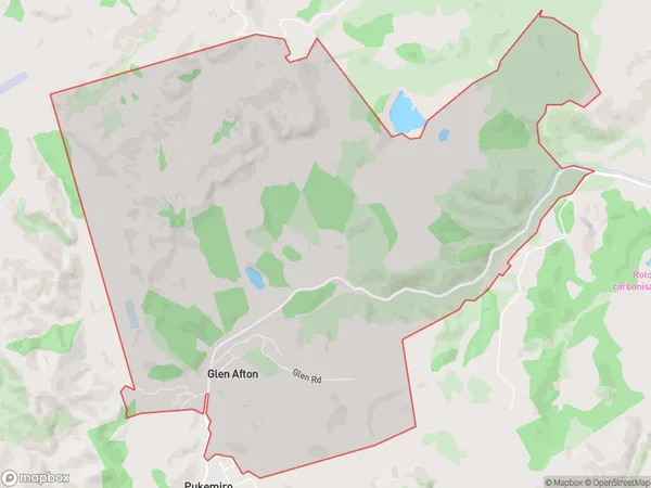
180 people live in Glen Afton, Waikato, NZGlen Afton Suburb Area Map (Polygon)
Glen Afton Introduction
Glen Afton is a small rural town in the Waikato region of New Zealand. It is located on State Highway 1, approximately 30 kilometers south of Huntly and 120 kilometers north of Hamilton. The town has a population of around 500 people and is known for its scenic surroundings, including the Glen Afton Reservoir and the Afton Forest. The area was first settled by Europeans in the 1860s, and the town was established in the 1870s.Region
Major City
Suburb Name
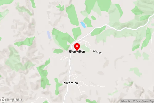
Glen AftonGlen Afton Area Map (Street)
Local Authority
Waikato DistrictFull Address
Glen Afton, Waikato District, New ZealandAddress Type
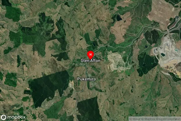
Locality in Town HuntlyGlen Afton Suburb Map (Satellite)
Country
Main Region in AU
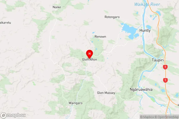
WaikatoGlen Afton Region Map
Coordinates
-37.6116126,175.0313081 (latitude/longitude)Distances
The distance from Glen Afton, Huntly, Waikato District to NZ Top 10 Cities