Waikokowai Area, Waikokowai Postcode(3772) & Map in Waikokowai
Waikokowai Area, Waikokowai Postcode(3772) & Map in Waikokowai, Waikato District, New Zealand
Waikokowai, Waikato District, New Zealand
Waikokowai Postcodes
Waikokowai Area (estimated)
23.2 square kilometersWaikokowai Population (estimated)
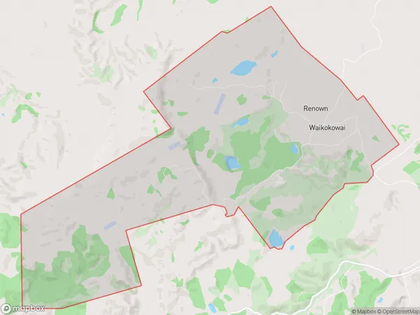
207 people live in Waikokowai, Waikato, NZWaikokowai Suburb Area Map (Polygon)
Waikokowai Introduction
Waikokowai is a small rural community in Huntly, Waikato, New Zealand. It is located on State Highway 1, approximately 30 kilometers north of Hamilton. The community has a population of around 100 people and is known for its scenic surroundings and peaceful atmosphere. The area has a rich history, with several historic buildings and sites, including the Waikokowai Church and the Waikokowai Hall. The community is also home to a popular golf course, which is a popular destination for locals and visitors alike.Region
Major City
Suburb Name
WaikokowaiOther Name(s)
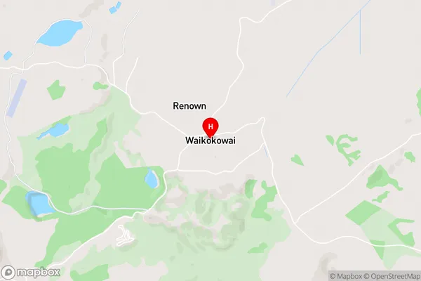
RenownWaikokowai Area Map (Street)
Local Authority
Waikato DistrictFull Address
Waikokowai, Waikato District, New ZealandAddress Type
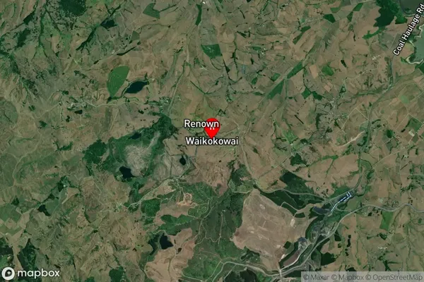
Locality in Town HuntlyWaikokowai Suburb Map (Satellite)
Country
Main Region in AU
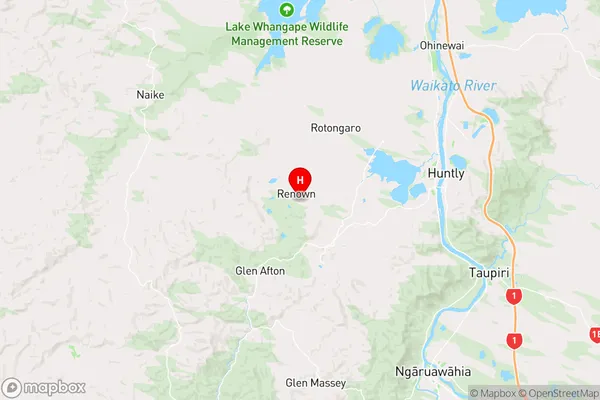
WaikatoWaikokowai Region Map
Coordinates
-37.573035,175.0587273 (latitude/longitude)Distances
The distance from Waikokowai, Huntly, Waikato District to NZ Top 10 Cities