Pepepe Area, Pepepe Postcode(3794) & Map in Pepepe
Pepepe Area, Pepepe Postcode(3794) & Map in Pepepe, Waikato District, New Zealand
Pepepe, Waikato District, New Zealand
Pepepe Postcodes
Pepepe Area (estimated)
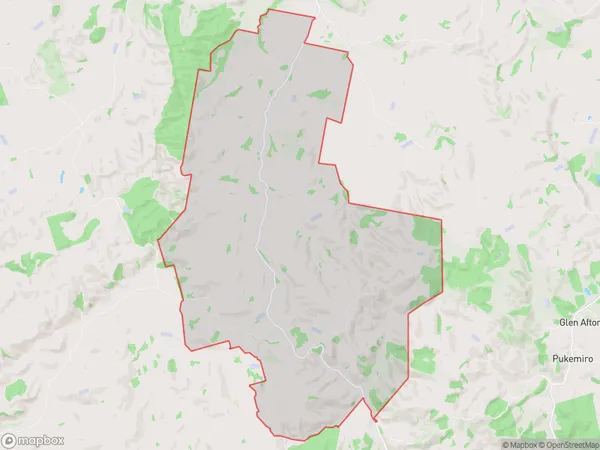
56.1 square kilometersPepepe Population (estimated)
81 people live in Pepepe, Waikato, NZPepepe Suburb Area Map (Polygon)
Pepepe Introduction
Pepepe is a small rural town in the Waikato region of New Zealand. It is known for its beautiful countryside, friendly locals, and historic buildings. The town has a population of around 100 people and is located on the banks of the Waikato River. It is a popular destination for outdoor activities such as hiking, fishing, and cycling, and is also home to a number of historic buildings, including the Pepepe railway station.Region
Major City
Suburb Name
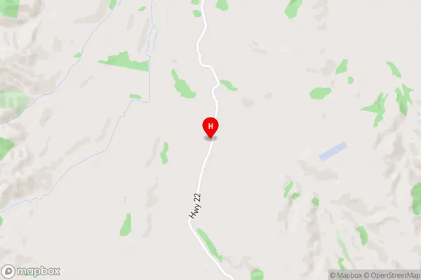
PepepePepepe Area Map (Street)
Local Authority
Waikato DistrictFull Address
Pepepe, Waikato District, New ZealandAddress Type
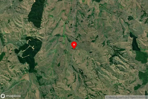
Locality in Town HuntlyPepepe Suburb Map (Satellite)
Country
Main Region in AU
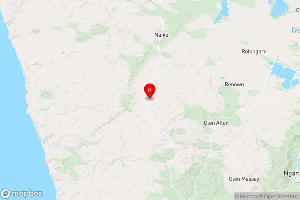
WaikatoPepepe Region Map
Coordinates
-37.5864352,174.9400878 (latitude/longitude)Distances
The distance from Pepepe, Huntly, Waikato District to NZ Top 10 Cities