Ohinewai Area, Ohinewai Postcode & Map in Ohinewai
Ohinewai Area, Ohinewai Postcode & Map in Ohinewai, Waikato District, New Zealand
Ohinewai, Waikato District, New Zealand
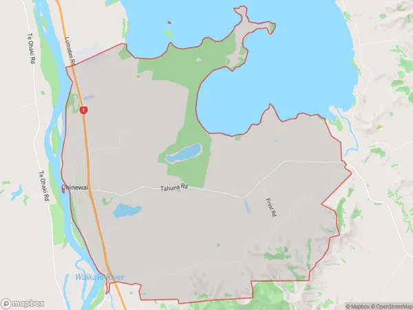
Ohinewai Area (estimated)
47.3 square kilometersOhinewai Population (estimated)
303 people live in Ohinewai, Waikato, NZOhinewai Suburb Area Map (Polygon)
Ohinewai Introduction
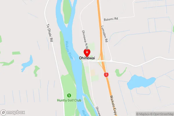
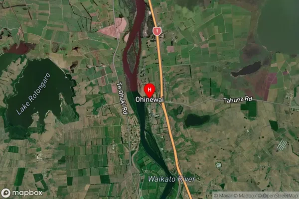
Ohinewai is a small rural community in Huntly, Waikato, New Zealand. It is located on State Highway 1, approximately 20 kilometers north of Huntly town center. The area is known for its scenic rural landscapes, including rolling hills, farms, and native forests. The community has a primary school, a post office, and a small supermarket. Ohinewai is a popular destination for outdoor enthusiasts, with numerous hiking and biking trails in the surrounding area.Region
Major City
Suburb Name
OhinewaiOhinewai Area Map (Street)
Local Authority
Waikato DistrictFull Address
Ohinewai, Waikato District, New ZealandAddress Type
Locality in Town HuntlyOhinewai Suburb Map (Satellite)
Country
Main Region in AU
WaikatoOhinewai Region Map

Coordinates
-37.4889226,175.1562207 (latitude/longitude)Distances
The distance from Ohinewai, Huntly, Waikato District to NZ Top 10 Cities