Rotongaro Area, Rotongaro Postcode(3772) & Map in Rotongaro
Rotongaro Area, Rotongaro Postcode(3772) & Map in Rotongaro, Waikato District, New Zealand
Rotongaro, Waikato District, New Zealand
Rotongaro Postcodes
Rotongaro Area (estimated)
60.4 square kilometersRotongaro Population (estimated)
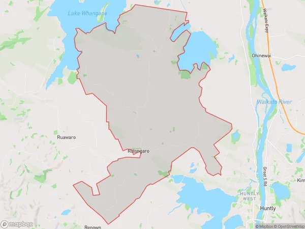
289 people live in Rotongaro, Waikato, NZRotongaro Suburb Area Map (Polygon)
Rotongaro Introduction
Rotongaro is a small rural town in the Waikato region of New Zealand. It is located on State Highway 1, approximately 30 kilometers south of Huntly and 120 kilometers north of Hamilton. The town has a population of around 300 people and is known for its scenic surroundings, including the Rotongaro Forest and the Waikato River. The town has a primary school, a post office, and a small supermarket.Region
Major City
Suburb Name
RotongaroOther Name(s)
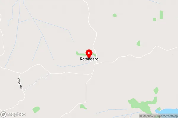
PukekapiaRotongaro Area Map (Street)
Local Authority
Waikato DistrictFull Address
Rotongaro, Waikato District, New ZealandAddress Type
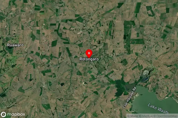
Locality in Town HuntlyRotongaro Suburb Map (Satellite)
Country
Main Region in AU
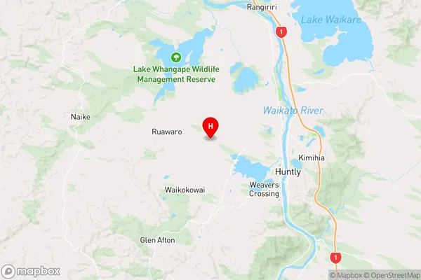
WaikatoRotongaro Region Map
Coordinates
-37.5337384,175.0832309 (latitude/longitude)Distances
The distance from Rotongaro, Huntly, Waikato District to NZ Top 10 Cities