Rotowaro Area, Rotowaro Postcode & Map in Rotowaro
Rotowaro Area, Rotowaro Postcode & Map in Rotowaro, Waikato District, New Zealand
Rotowaro, Waikato District, New Zealand
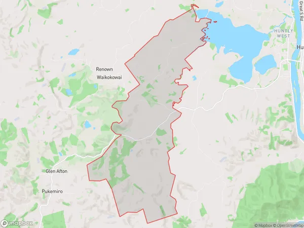
Rotowaro Area (estimated)
29.3 square kilometersRotowaro Population (estimated)
127 people live in Rotowaro, Waikato, NZRotowaro Suburb Area Map (Polygon)
Rotowaro Introduction
Rotowaro is a small rural town in the Waikato region of New Zealand. It is known for its historic stone buildings and its association with the early Māori settlers. The town has a population of around 1,000 people and is located on the banks of the Waikato River. It is a popular destination for tourists who enjoy the natural beauty of the region and the cultural heritage of the area.Region
Major City
Suburb Name
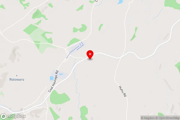
RotowaroRotowaro Area Map (Street)
Local Authority
Waikato DistrictFull Address
Rotowaro, Waikato District, New ZealandAddress Type
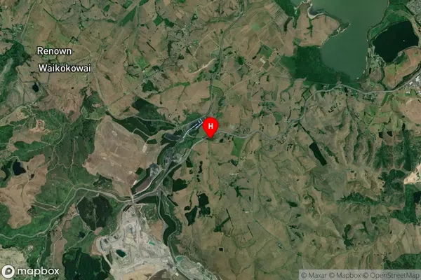
Locality in Town HuntlyRotowaro Suburb Map (Satellite)
Country
Main Region in AU
WaikatoRotowaro Region Map

Coordinates
-37.5869995,175.0943964 (latitude/longitude)Distances
The distance from Rotowaro, Huntly, Waikato District to NZ Top 10 Cities