Te Kuiti Suburbs & Region, Te Kuiti Map & Postcodes in Te Kuiti, Te Kuiti, Waikato
Te Kuiti Postcodes, Te Kuiti ZipCodes, Te Kuiti , Te Kuiti Waikato, Te Kuiti Suburbs, Te Kuiti Region, Te Kuiti Map, Te Kuiti Area
Te Kuiti Region (Mangatea, Oparure, Tanehopuwai, Te Kumi, Waiteti Region)
Te Kuiti Suburbs
Te Kuiti is a suburb place type in Te Kuiti, Waikato, NZ. It contains 11 suburbs or localities.Te Kuiti Postcodes
Te Kuiti district
WaitomoTe Kuiti Introduction
Te Kuiti is a small town in the Waikato region of New Zealand. It is known for its rich farming heritage and stunning natural scenery, including the Te Kuiti Gorge and the Taranaki Mountains. The town has a population of around 5,000 people and is located about 120 km northwest of Hamilton. Te Kuiti is a popular destination for tourists and has a variety of accommodation options, including hotels, motels, and holiday homes. The town also has a number of restaurants, cafes, and shops, as well as a community center and a library.Te Kuiti Region
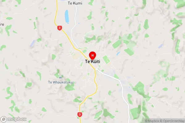
Te Kuiti City
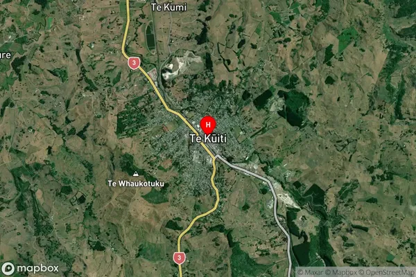
Te Kuiti Satellite Map

Full Address
Te Kuiti, Te Kuiti, WaikatoTe Kuiti Coordinates
-38.334192,175.165712 (Latitude / Longitude)Te Kuiti Map in NZ

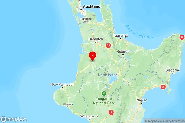
NZ Island
North IslandCountry
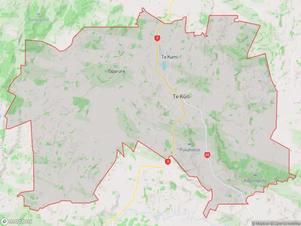
Te Kuiti Area Map (Polygon)

Name
Te KuitiAdditional Name
Mangatea, Oparure, Tanehopuwai, Te Kumi, WaitetiLocal Authority
Waitomo District
Te Kuiti Suburbs (Sort by Population)
Te Kuiti
Te Kuiti - 5647Waitomo
Waitomo - 517Maniaiti / Benneydale
Maniaiti / Benneydale - 290Te Mapara
Te Mapara - 229Hangatiki
Hangatiki - 207Rangitoto
Rangitoto - 162Kopaki
Kopaki - 97Te Anga
Te Anga - 59Puketutu
Puketutu - 55Waipa Valley
Waipa Valley - 53Mangaokewa
Mangaokewa - 13
