Kopaki Area, Kopaki Postcode(3983) & Map in Kopaki
Kopaki Area, Kopaki Postcode(3983) & Map in Kopaki, Waitomo District, New Zealand
Kopaki, Waitomo District, New Zealand
Kopaki Postcodes
Kopaki Area (estimated)
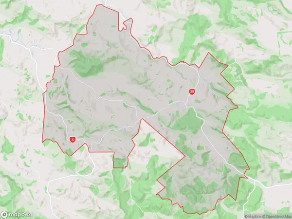
102.3 square kilometersKopaki Population (estimated)
97 people live in Kopaki, Waikato, NZKopaki Suburb Area Map (Polygon)
Kopaki Introduction
Kopaki is a small rural town in the Waikato region of New Zealand, located on the banks of the Waikato River. It is known for its historic buildings, including the Kopaki Hotel, which was built in 1887. The town has a population of around 1,000 people and is a popular destination for tourists who enjoy the surrounding natural beauty, including the Waikato River and the Kopaki Forest.Region
Major City
Suburb Name
KopakiOther Name(s)
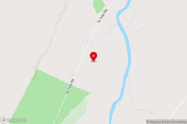
Aratoro, MangapehiKopaki Area Map (Street)
Local Authority
Waitomo DistrictFull Address
Kopaki, Waitomo District, New ZealandAddress Type
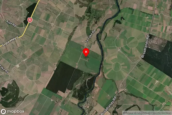
Locality in Town Te KuitiKopaki Suburb Map (Satellite)
Country
Main Region in AU
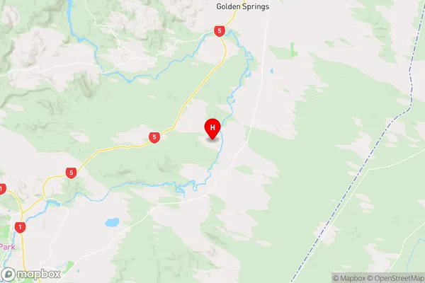
WaikatoKopaki Region Map
Coordinates
-38.569528,176.283944 (latitude/longitude)Distances
The distance from Kopaki, Te Kuiti, Waitomo District to NZ Top 10 Cities