Te Kuiti Area, Te Kuiti Postcode(3910) & Map in Te Kuiti
Te Kuiti Area, Te Kuiti Postcode(3910) & Map in Te Kuiti, Waitomo District, New Zealand
Te Kuiti, Waitomo District, New Zealand
Te Kuiti Area (estimated)
241.7 square kilometersTe Kuiti Population (estimated)
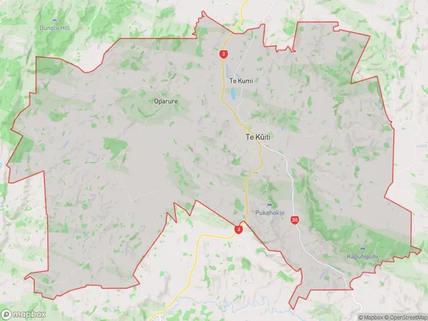
5647 people live in Te Kuiti, Waikato, NZTe Kuiti Suburb Area Map (Polygon)
Te Kuiti Introduction
Te Kuiti is a small town in Waikato, New Zealand, with a population of around 4,000 people. It is known for its rich farming heritage and stunning natural surroundings, including the Te Kuiti Gorge and the Waikato River. The town is also home to a number of important historical sites, including the Te Kuiti Museum and the St Patrick's Cathedral.Region
Major City
Suburb Name
Te Kuiti (Maori Name: Te Kūiti)Other Name(s)
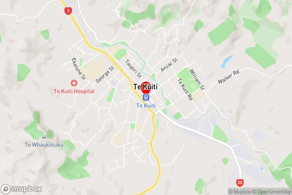
Mangatea, Oparure, Tanehopuwai, Te Kumi, WaitetiTe Kuiti Area Map (Street)
Local Authority
Waitomo DistrictFull Address
Te Kuiti, Waitomo District, New ZealandAddress Type
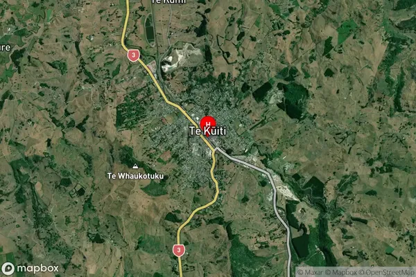
Suburb in Town Te KuitiTe Kuiti Suburb Map (Satellite)
Country
Main Region in AU
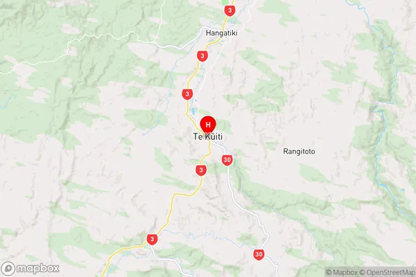
WaikatoTe Kuiti Region Map
Coordinates
-38.335676,175.1658262 (latitude/longitude)Distances
The distance from Te Kuiti, Te Kuiti, Waitomo District to NZ Top 10 Cities