Waipa Valley Area, Waipa Valley Postcode(3900) & Map in Waipa Valley, Otorohanga District
Waipa Valley Area, Waipa Valley Postcode(3900) & Map in Waipa Valley, Otorohanga District, Waitomo District, New Zealand
Waipa Valley, Otorohanga District, Waitomo District, New Zealand
Waipa Valley Postcodes
Waipa Valley Area (estimated)
-1.2 square kilometersWaipa Valley Population (estimated)
53 people live in Waipa Valley, Waikato, NZWaipa Valley Suburb Area Map (Polygon)
Not available for nowWaipa Valley Introduction
Waipa Valley is a picturesque rural area in Te Kuiti, Waikato, New Zealand. It is known for its fertile soil, rolling hills, and stunning countryside. The area is home to a variety of agricultural businesses, including sheep and beef farming, as well as a growing number of wineries and breweries. The Waipa River runs through the valley, providing water for irrigation and fishing. The region is also popular with tourists, who come to enjoy the scenic views, hiking trails, and local cuisine.Region
Major City
Suburb Name
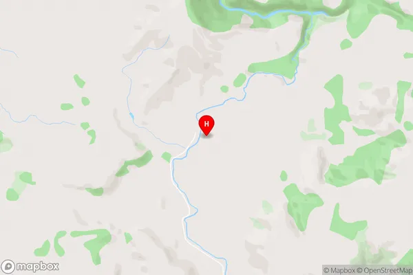
Waipa ValleyWaipa Valley Area Map (Street)
Local Authority
Otorohanga District, Waitomo District (Maori Name: Ōtorohanga District, Waitomo District)Full Address
Waipa Valley, Otorohanga District, Waitomo District, New ZealandAddress Type
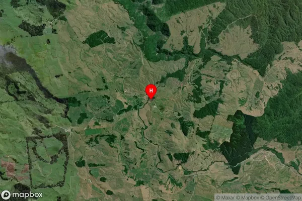
Locality in Town Te KuitiWaipa Valley Suburb Map (Satellite)
Country
Main Region in AU
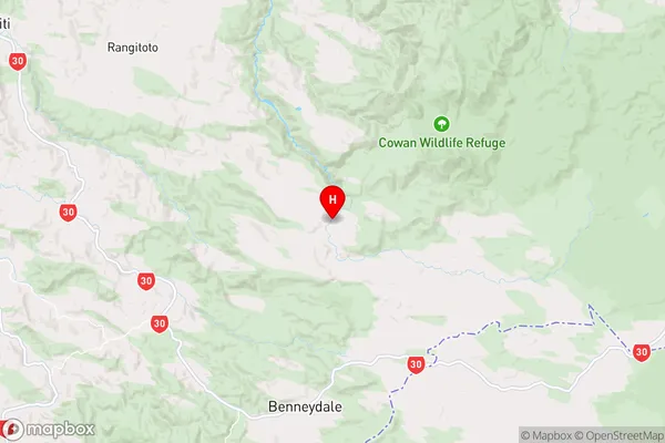
WaikatoWaipa Valley Region Map
Coordinates
-38.4302779,175.3798413 (latitude/longitude)Distances
The distance from Waipa Valley, Te Kuiti, Otorohanga District, Waitomo District to NZ Top 10 Cities