Te Anga Area, Te Anga Postcode & Map in Te Anga
Te Anga Area, Te Anga Postcode & Map in Te Anga, Waitomo District, New Zealand
Te Anga, Waitomo District, New Zealand
Te Anga Area (estimated)
201.1 square kilometersTe Anga Population (estimated)
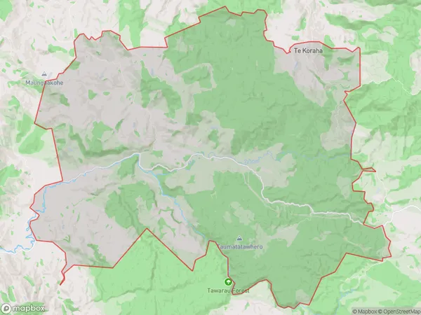
59 people live in Te Anga, Waikato, NZTe Anga Suburb Area Map (Polygon)
Te Anga Introduction
Te Anga, Te Kuiti, Waikato, NZ, is a small rural town with a population of around 1,000 people. It is located in the Waikato region and is known for its scenic countryside, rich history, and traditional Maori culture. The town is home to the Te Anga Marae, a significant Maori meeting house and cultural center. The area is also popular for farming, with a variety of crops and livestock being raised.Region
Major City
Suburb Name
Te AngaOther Name(s)
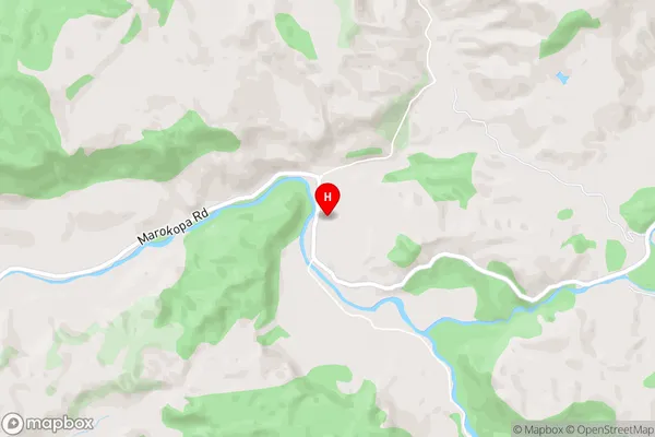
Awamarino, Piripiri, Te KorahaTe Anga Area Map (Street)
Local Authority
Waitomo DistrictFull Address
Te Anga, Waitomo District, New ZealandAddress Type
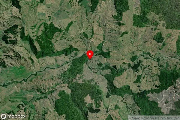
Locality in Town Te KuitiTe Anga Suburb Map (Satellite)
Country
Main Region in AU
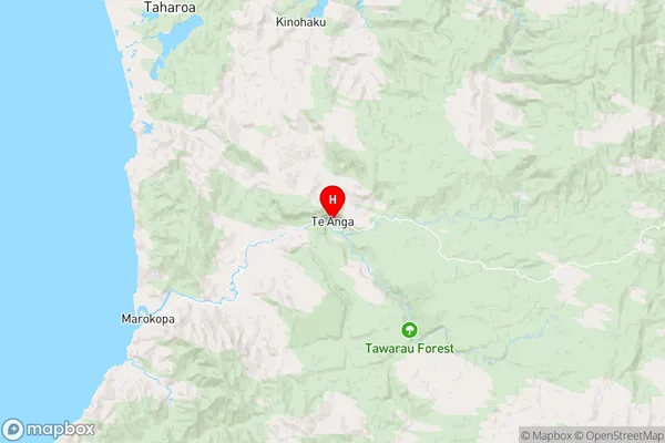
WaikatoTe Anga Region Map
Coordinates
-38.2559585,174.8363185 (latitude/longitude)Distances
The distance from Te Anga, Te Kuiti, Waitomo District to NZ Top 10 Cities