Rangitoto Area, Rangitoto Postcode & Map in Rangitoto
Rangitoto Area, Rangitoto Postcode & Map in Rangitoto, Waitomo District, New Zealand
Rangitoto, Waitomo District, New Zealand
Rangitoto Area (estimated)
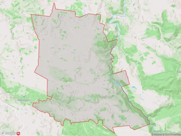
118.2 square kilometersRangitoto Population (estimated)
162 people live in Rangitoto, Waikato, NZRangitoto Suburb Area Map (Polygon)
Rangitoto Introduction
Rangitoto is a volcanic cone in the Waikato region of New Zealand. It is the most visible and accessible of the region's volcanoes. The cone is 267m high and has a base diameter of 4.8km. Rangitoto Island is located in the middle of Auckland Harbour and is a popular tourist destination. The island has a population of around 500 people and is home to a variety of wildlife, including birds, reptiles, and mammals.Region
Major City
Suburb Name
RangitotoOther Name(s)
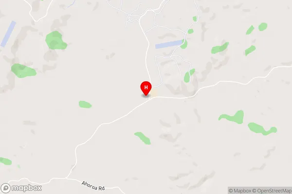
PururuRangitoto Area Map (Street)
Local Authority
Waitomo DistrictFull Address
Rangitoto, Waitomo District, New ZealandAddress Type
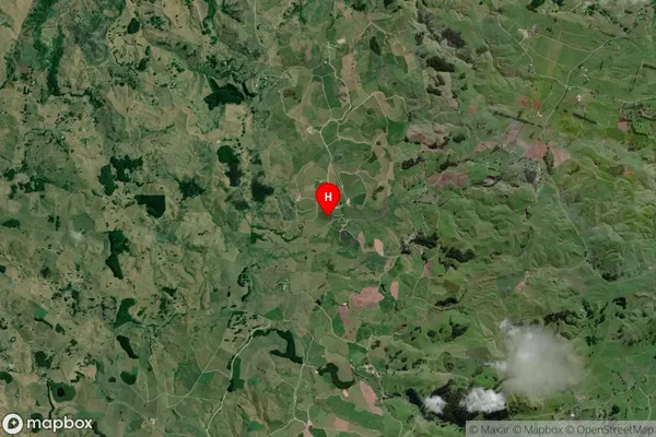
Locality in Town Te KuitiRangitoto Suburb Map (Satellite)
Country
Main Region in AU
WaikatoRangitoto Region Map

Coordinates
-38.3456613,175.2559876 (latitude/longitude)Distances
The distance from Rangitoto, Te Kuiti, Waitomo District to NZ Top 10 Cities