Maniaiti / Benneydale Area, Maniaiti / Benneydale Postcode(3987) & Map in Maniaiti / Benneydale
Maniaiti / Benneydale Area, Maniaiti / Benneydale Postcode(3987) & Map in Maniaiti / Benneydale, Waitomo District, New Zealand
Maniaiti / Benneydale, Waitomo District, New Zealand
Maniaiti / Benneydale Postcodes
Maniaiti / Benneydale Area (estimated)
312.5 square kilometersManiaiti / Benneydale Population (estimated)
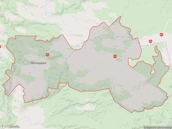
290 people live in Maniaiti / Benneydale, Waikato, NZManiaiti / Benneydale Suburb Area Map (Polygon)

Maniaiti / Benneydale Introduction
Maniaiti / Benneydale is a small rural community located in the Te Kuiti district of Waikato, New Zealand. It is known for its beautiful countryside, friendly locals, and traditional Maori culture. The community has a primary school, a post office, and a small supermarket. The area is popular with outdoor enthusiasts, with many walking and cycling trails nearby. The community also hosts a number of cultural events throughout the year, including a traditional Maori festival and a farmers' market.Region
Major City
Suburb Name
Maniaiti / BenneydaleOther Name(s)
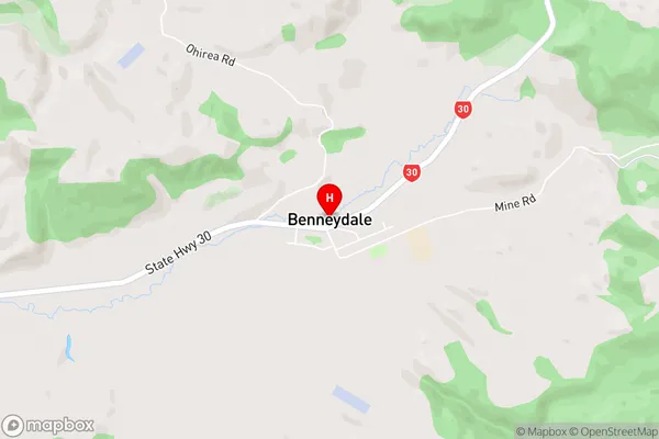
Barryville, Benneydale, Horokino, Maniaiti, Maraeroa, Porootarao, TiroaManiaiti / Benneydale Area Map (Street)

Local Authority
Waitomo DistrictFull Address
Maniaiti / Benneydale, Waitomo District, New ZealandAddress Type
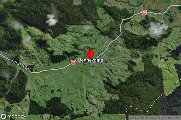
Locality in Town Te KuitiManiaiti / Benneydale Suburb Map (Satellite)

Country
Main Region in AU
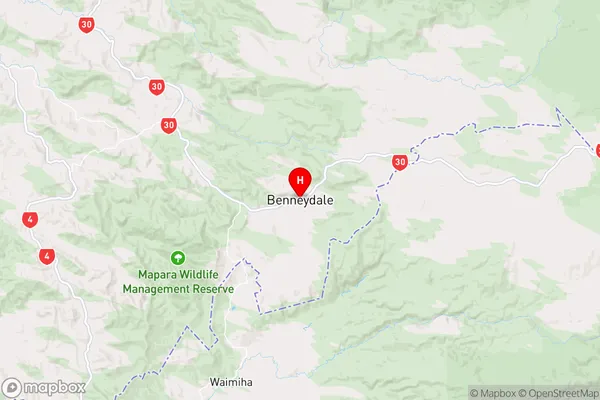
WaikatoManiaiti / Benneydale Region Map

Coordinates
-38.520108,175.3627608 (latitude/longitude)Distances
The distance from Maniaiti / Benneydale, Te Kuiti, Waitomo District to NZ Top 10 Cities