Te Mapara Area, Te Mapara Postcode & Map in Te Mapara
Te Mapara Area, Te Mapara Postcode & Map in Te Mapara, Waitomo District, New Zealand
Te Mapara, Waitomo District, New Zealand
Te Mapara Area (estimated)
151.7 square kilometersTe Mapara Population (estimated)
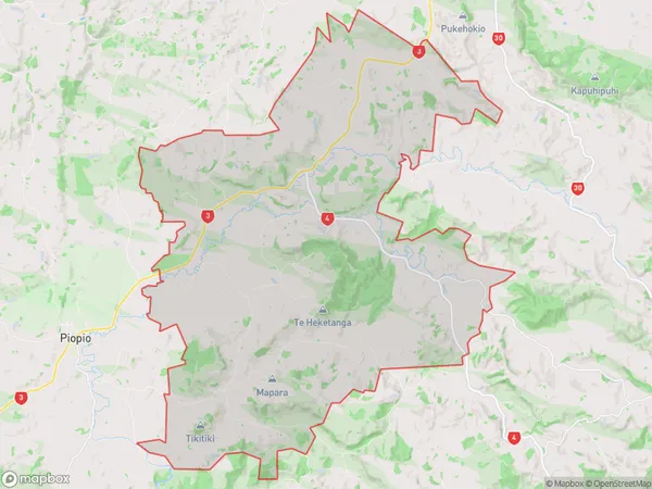
229 people live in Te Mapara, Bay of Plenty, NZTe Mapara Suburb Area Map (Polygon)
Te Mapara Introduction
Te Mapara, Te Kuiti, Bay of Plenty, NZ, is a small rural town located on the eastern coast of the North Island. It is known for its stunning natural beauty, including a picturesque beach, a rugged mountain range, and fertile farmland. The town has a population of around 1,000 people and is a popular destination for tourists and outdoor enthusiasts.Region
Major City
Suburb Name
Te MaparaOther Name(s)
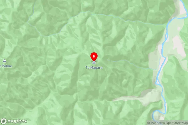
Arapae, Eight Mile Junction, TanehopuwaiTe Mapara Area Map (Street)
Local Authority
Waitomo DistrictFull Address
Te Mapara, Waitomo District, New ZealandAddress Type
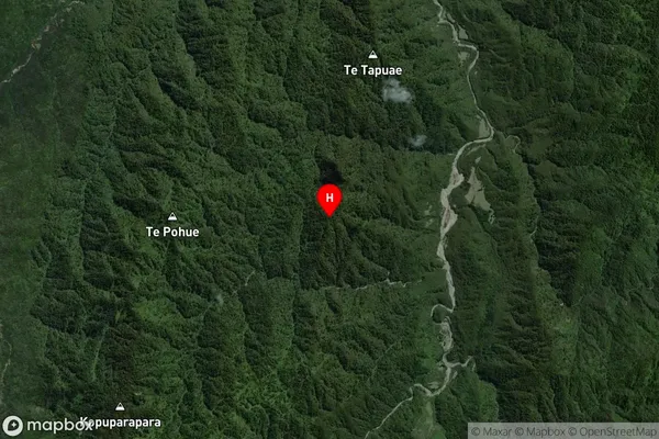
Locality in Town Te KuitiTe Mapara Suburb Map (Satellite)
Country
Main Region in AU
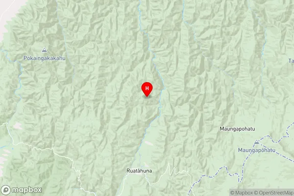
Bay of PlentyTe Mapara Region Map
Coordinates
-38.535444,176.968722 (latitude/longitude)Distances
The distance from Te Mapara, Te Kuiti, Waitomo District to NZ Top 10 Cities