Buller Suburbs & Region, Buller Map & Postcodes in Buller, West Coast
Buller Postcodes, Buller ZipCodes, Buller , Buller West Coast, Buller Suburbs, Buller Region, Buller Map, Buller Area
Buller Region
Buller Suburbs
Buller is a district place type in West Coast, NZ. It contains 15 suburbs or localities.Buller district
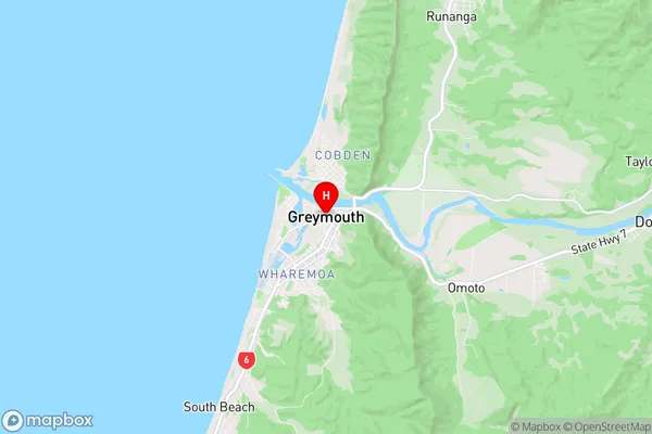
BullerBuller Region Map
Buller Introduction
Buller is a small West Coast town in New Zealand. It is situated on the Buller River, which flows into the Tasman Sea. The town is known for its scenic beauty, with rugged mountains, forests, and rivers surrounding it. It is a popular tourist destination, with many visitors coming to enjoy the outdoor activities such as hiking, skiing, and fishing. The town also has a historic mining district, with many old buildings and ruins remaining from the days when the area was a major source of gold and silver.Buller Region
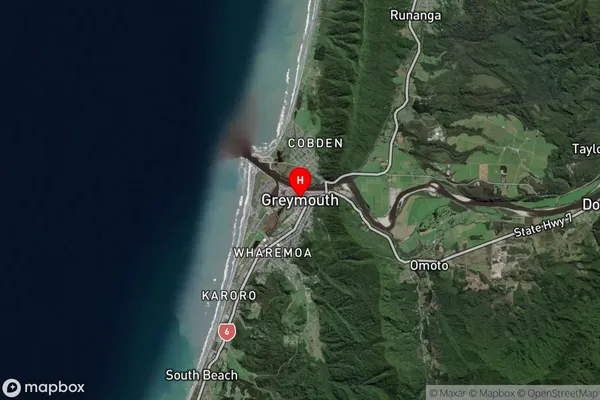
Buller Satellite Map
Full Address
Buller, West CoastBuller Coordinates
-42.4499469,171.2079875 (Latitude / Longitude)Buller Map in NZ
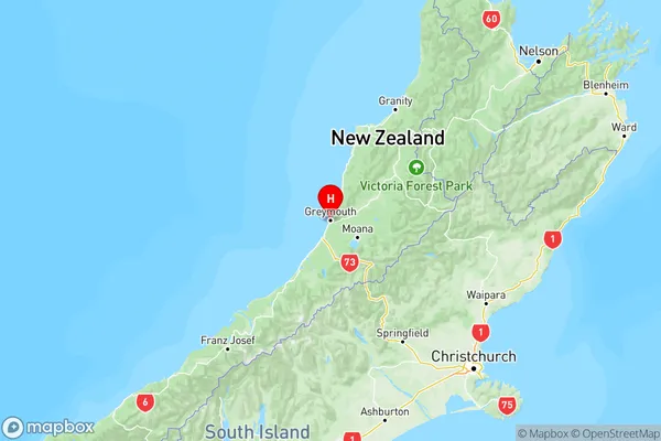
NZ Island
South IslandCountry
Buller Suburbs (Sort by Population)
Buller Suburbs (Sort in alphabetical)
Cape Foulwind
Carters Beach
Charleston
Denniston
Granity
Hector
Inangahua
Kahurangi National Park
Karamea
Punakaiki
Reefton
Seddonville
Stockton
Waimangaroa
Westport