Waimangaroa Suburbs & Region, Waimangaroa Map & Postcodes in Waimangaroa, Buller, West Coast
Waimangaroa Postcodes, Waimangaroa ZipCodes, Waimangaroa , Waimangaroa West Coast, Waimangaroa Suburbs, Waimangaroa Region, Waimangaroa Map, Waimangaroa Area
Waimangaroa Region
Waimangaroa Suburbs
Waimangaroa is a suburb place type in Buller, West Coast, NZ. It contains 0 suburbs or localities.Waimangaroa district
BullerWaimangaroa Region Map
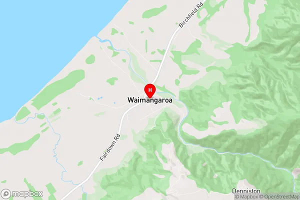
Waimangaroa Introduction
Waimangaroa is a small, uninhabited island located off the coast of the West Coast of New Zealand. It is part of the Waimangaroa Island Group and is known for its stunning natural beauty, including rugged cliffs, lush forests, and crystal-clear waters. The island is a popular destination for outdoor enthusiasts, with opportunities for hiking, kayaking, and wildlife viewing. It is also home to a variety of bird species, including the rare and endangered kiwi. Waimangaroa is accessible by boat from the nearby town of Haast, and there are several accommodation options on the island, including a lodge and a camping ground.Waimangaroa Region
Waimangaroa City
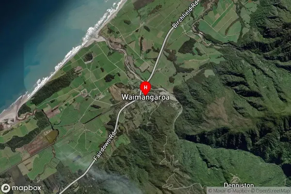
Waimangaroa Satellite Map
Full Address
Waimangaroa, Buller, West CoastWaimangaroa Coordinates
-41.71389,171.764374 (Latitude / Longitude)Waimangaroa Map in NZ
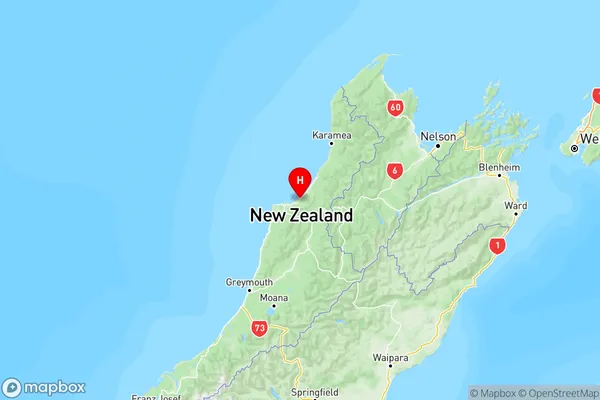
NZ Island
South IslandCountry
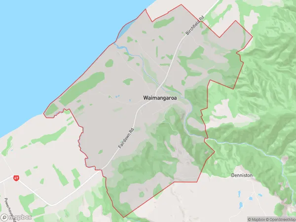
Waimangaroa Area Map (Polygon)
Name
WaimangaroaAdditional Name
Local Authority
Buller District
Waimangaroa Suburbs (Sort by Population)
Waimangaroa suburb has around
31.0 square
kilometers.There are more than 279 people (estimated)
live in Waimangaroa, Westport, West Coast, New Zealand.