Waimangaroa Area, Waimangaroa Postcode(7823) & Map in Waimangaroa
Waimangaroa Area, Waimangaroa Postcode(7823) & Map in Waimangaroa, Buller District, New Zealand
Waimangaroa, Buller District, New Zealand
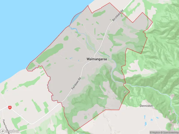
Waimangaroa Area (estimated)
31.0 square kilometersWaimangaroa Population (estimated)
279 people live in Waimangaroa, West Coast, NZWaimangaroa Suburb Area Map (Polygon)
Waimangaroa Introduction
Waimangaroa is a small, uninhabited island located off the coast of Westport, West Coast, New Zealand. It is known for its stunning natural beauty, including rugged cliffs, lush forests, and crystal-clear waters. The island is a popular destination for hiking, camping, and wildlife viewing, with a variety of bird species and marine life. It is also home to a historic stone church built in the 1880s by the New Zealand government.Region
Major City
Suburb Name
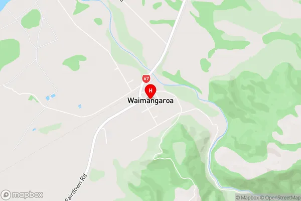
WaimangaroaWaimangaroa Area Map (Street)
Local Authority
Buller DistrictFull Address
Waimangaroa, Buller District, New ZealandAddress Type
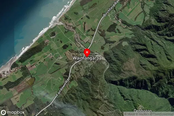
Locality in Town WestportWaimangaroa Suburb Map (Satellite)
Country
Main Region in AU
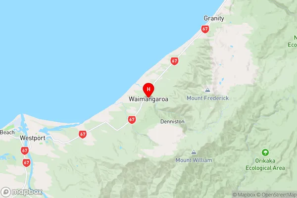
West CoastWaimangaroa Region Map
Coordinates
-41.7138901,171.7643737 (latitude/longitude)Distances
The distance from Waimangaroa, Westport, Buller District to NZ Top 10 Cities