Denniston Suburbs & Region, Denniston Map & Postcodes in Denniston, Buller, West Coast
Denniston Postcodes, Denniston ZipCodes, Denniston , Denniston West Coast, Denniston Suburbs, Denniston Region, Denniston Map, Denniston Area
Denniston Region
Denniston Suburbs
Denniston is a suburb place type in Buller, West Coast, NZ. It contains 0 suburbs or localities.Denniston district
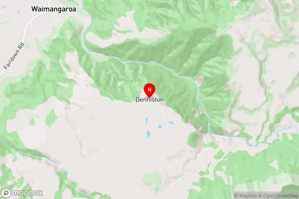
BullerDenniston Region Map
Denniston Introduction
Denniston is a small town on the West Coast of New Zealand's South Island. It is situated at the mouth of the Grey River and is known for its coal mining and tourism. The town was founded in 1865 and was once a major coal-mining center. Today, it is a popular tourist destination, with visitors coming to see the historic coal mines and the stunning natural scenery of the surrounding area. The town also has a variety of recreational facilities, including a golf course, a swimming pool, and a museum.Denniston Region
Denniston City
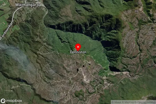
Denniston Satellite Map
Full Address
Denniston, Buller, West CoastDenniston Coordinates
-41.737214,171.797376 (Latitude / Longitude)Denniston Map in NZ
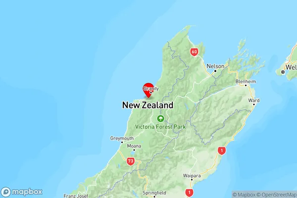
NZ Island
South IslandCountry