Karamea Suburbs & Region, Karamea Map & Postcodes in Karamea, Buller, West Coast
Karamea Postcodes, Karamea ZipCodes, Karamea , Karamea West Coast, Karamea Suburbs, Karamea Region, Karamea Map, Karamea Area
Karamea Region
Karamea Suburbs
Karamea is a city place type in Buller, West Coast, NZ. It contains 2 suburbs or localities.Karamea Postcodes
Karamea district
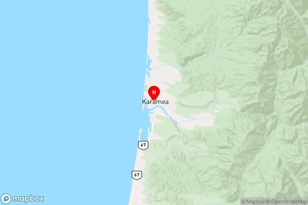
BullerKaramea Region Map
Karamea Introduction
Karamea is a small settlement on the West Coast of New Zealand's South Island. It is located in the Grey District and is known for its stunning natural scenery, including rugged mountains, dense forests, and pristine rivers. The area is popular with outdoor enthusiasts, who enjoy activities such as hiking, mountain biking, and fishing. Karamea also has a small community of around 100 people, with a primary school, a post office, and a general store. The town is surrounded by beautiful natural landscapes and is an ideal location for a peaceful and relaxing holiday.Karamea Region
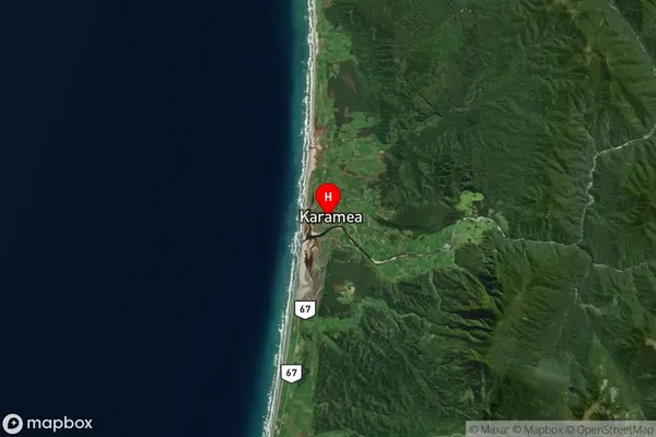
Karamea Satellite Map
Full Address
Karamea, Buller, West CoastKaramea Coordinates
-41.247588,172.111575 (Latitude / Longitude)Karamea Map in NZ
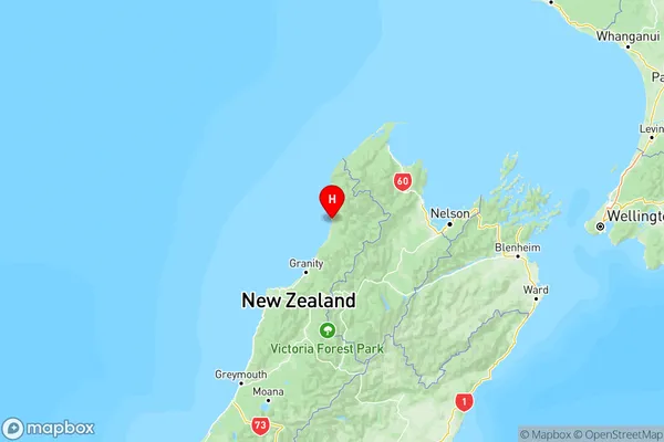
NZ Island
South IslandCountry
Karamea Suburbs (Sort by Population)
Karamea
Karamea - 436Little Wanganui
Little Wanganui - 165