Little Wanganui Area, Little Wanganui Postcode & Map in Little Wanganui
Little Wanganui Area, Little Wanganui Postcode & Map in Little Wanganui, Buller District,
Little Wanganui, Buller District,
Little Wanganui Area (estimated)
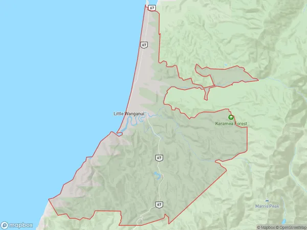
179.2 square kilometersLittle Wanganui Population (estimated)
165 people live in Little Wanganui, Karamea, NZLittle Wanganui Suburb Area Map (Polygon)
Little Wanganui Introduction
Little Wanganui is a small settlement on the West Coast of New Zealand's South Island. It is located in the Karamea District and is known for its stunning natural surroundings, including the Karamea River and the surrounding mountains. The settlement has a population of around 100 people and is a popular destination for outdoor enthusiasts, with many opportunities for hiking, fishing, and hunting.Region
Major City
Suburb Name
Little WanganuiOther Name(s)
Te NamuLittle Wanganui Area Map (Street)
Local Authority
Buller DistrictFull Address
Little Wanganui, Buller District,Address Type
Locality in Major Locality KarameaLittle Wanganui Suburb Map (Satellite)
Country
Main Region in AU
West CoastLittle Wanganui Region Map
Coordinates
0,0 (latitude/longitude)Distances
The distance from Little Wanganui, Karamea, Buller District to NZ Top 10 Cities