Karamea Area, Karamea Postcode(7864) & Map in Karamea
Karamea Area, Karamea Postcode(7864) & Map in Karamea, Buller District, New Zealand
Karamea, Buller District, New Zealand
Karamea Postcodes
Karamea Area (estimated)
102.8 square kilometersKaramea Population (estimated)
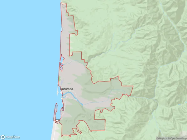
436 people live in Karamea, West Coast, NZKaramea Suburb Area Map (Polygon)
Karamea Introduction
Karamea is a small West Coast town in New Zealand known for its stunning natural beauty, including the Karamea River, waterfalls, and lush green forests. It is a popular destination for outdoor enthusiasts and nature lovers, with a range of hiking, kayaking, and fishing opportunities. The town also has a historic church and a community hall, and hosts a variety of events and festivals throughout the year.Region
Major City
Suburb Name
KarameaOther Name(s)
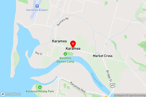
Arapito, Caldervale, Kongahu, Market Cross, Oparara, UmereKaramea Area Map (Street)
Local Authority
Buller DistrictFull Address
Karamea, Buller District, New ZealandAddress Type
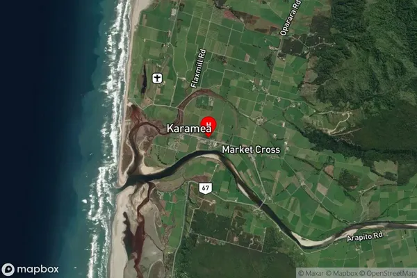
Locality in Major Locality KarameaKaramea Suburb Map (Satellite)
Country
Main Region in AU
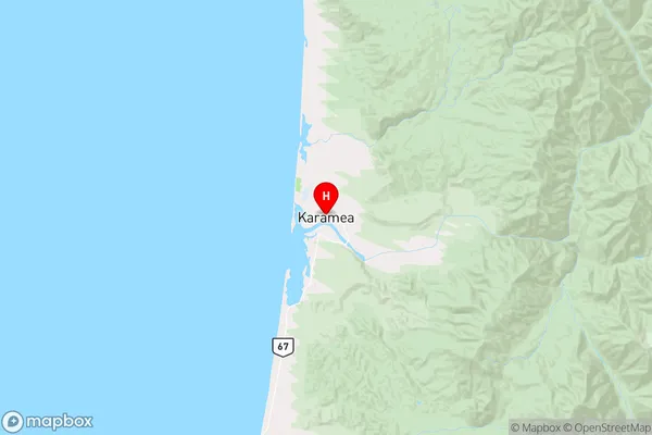
West CoastKaramea Region Map
Coordinates
-41.2487742,172.1180874 (latitude/longitude)Distances
The distance from Karamea, Karamea, Buller District to NZ Top 10 Cities