Mawheraiti Area, Mawheraiti Postcode & Map in Mawheraiti
Mawheraiti Area, Mawheraiti Postcode & Map in Mawheraiti, Buller District, New Zealand
Mawheraiti, Buller District, New Zealand
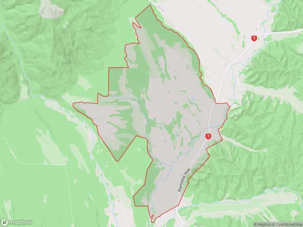
Mawheraiti Area (estimated)
55.7 square kilometersMawheraiti Population (estimated)
82 people live in Mawheraiti, West Coast, NZMawheraiti Suburb Area Map (Polygon)
Mawheraiti Introduction
Mawheraiti is a small rural community on the West Coast of New Zealand's South Island. It is located in the Grey District and is known for its stunning natural scenery, including the Mawheraiti Glacier. The community has a population of around 100 people and is surrounded by native forests and farmland. Mawheraiti is a popular destination for outdoor enthusiasts, with many opportunities for hiking, mountain biking, and fishing. The community also has a small school and a community hall.Region
Major City
Suburb Name
MawheraitiOther Name(s)
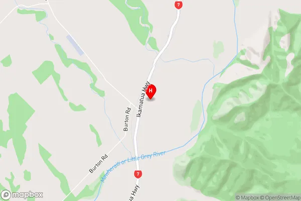
Hinau, Larrys Creek, Lower Buller, Tawhai, WaimaungaMawheraiti Area Map (Street)
Local Authority
Buller DistrictFull Address
Mawheraiti, Buller District, New ZealandAddress Type
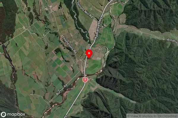
Locality in Town ReeftonMawheraiti Suburb Map (Satellite)
Country
Main Region in AU
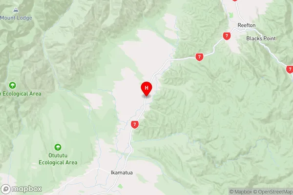
West CoastMawheraiti Region Map
Coordinates
-42.1914147,171.722761 (latitude/longitude)Distances
The distance from Mawheraiti, Reefton, Buller District to NZ Top 10 Cities