Stockton Suburbs & Region, Stockton Map & Postcodes in Stockton, Buller, West Coast
Stockton Postcodes, Stockton ZipCodes, Stockton , Stockton West Coast, Stockton Suburbs, Stockton Region, Stockton Map, Stockton Area
Stockton Region
Stockton Suburbs
Stockton is a suburb place type in Buller, West Coast, NZ. It contains 0 suburbs or localities.Stockton district
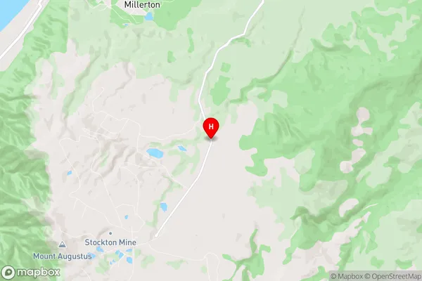
BullerStockton Region Map
Stockton Introduction
Stockton is a small town on the West Coast of New Zealand's South Island. It is situated on the banks of the Grey River and is known for its scenic surroundings, including the nearby Grey Valley and the Southern Alps. The town has a population of around 1,200 people and is a popular destination for tourists who enjoy hiking, fishing, and skiing. Stockton also has a historic coal-mining past and is home to the Stockton Coal Mine Museum.Stockton Region
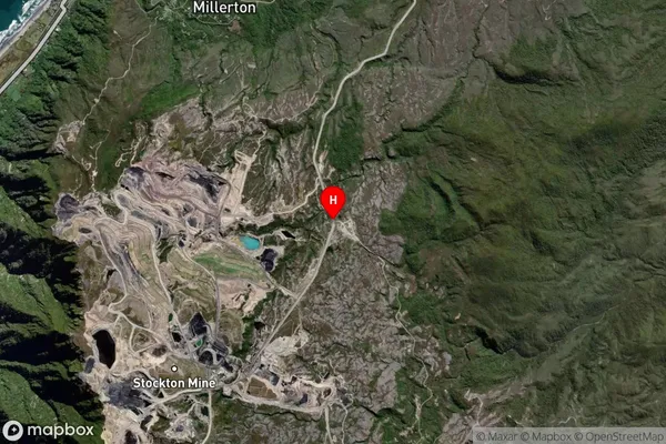
Stockton Satellite Map
Full Address
Stockton, Buller, West CoastStockton Coordinates
-41.657204,171.8932899 (Latitude / Longitude)Stockton Map in NZ
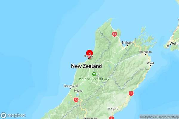
NZ Island
South IslandCountry
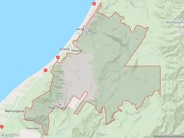
Stockton Area Map (Polygon)
Name
StocktonAdditional Name
Local Authority
Buller District
Stockton Suburbs (Sort by Population)
Stockton suburb has around
212.1 square
kilometers.There are more than 0 people (estimated)
live in Stockton, , West Coast, New Zealand.