Stockton Area, Stockton Postcode & Map in Stockton
Stockton Area, Stockton Postcode & Map in Stockton, Buller District, New Zealand
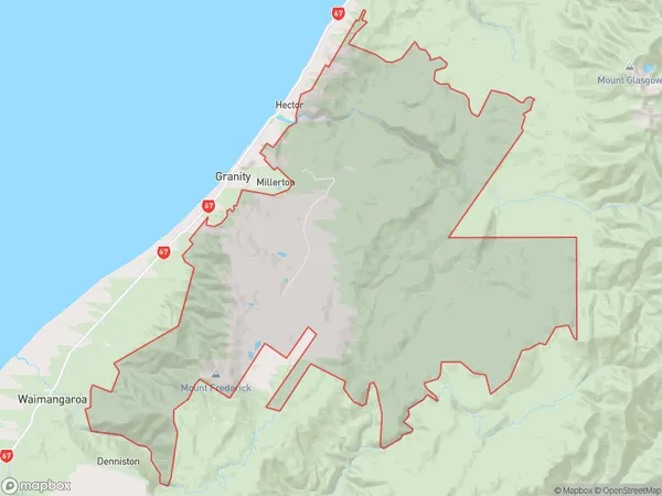
Stockton, Buller District, New Zealand
Stockton Area (estimated)
212.1 square kilometersStockton Population (estimated)
0 people live in Stockton, West Coast, NZStockton Suburb Area Map (Polygon)
Stockton Introduction
Stockton is a small town on the West Coast of New Zealand's South Island. It is known for its natural beauty, including the Stockton Beach, and as a gateway to the nearby West Coast National Park. The town has a population of around 1,200 people and is located about 25 kilometers from the city of Westport.Region
Major City
Suburb Name
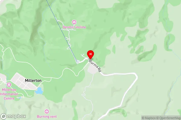
StocktonStockton Area Map (Street)
Local Authority
Buller DistrictFull Address
Stockton, Buller District, New ZealandAddress Type
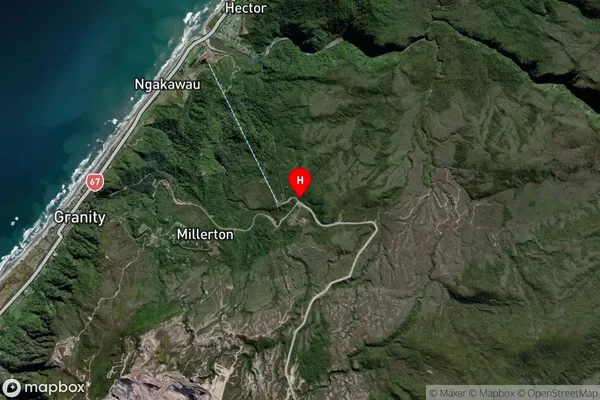
Locality in Town WestportStockton Suburb Map (Satellite)
Country
Main Region in AU
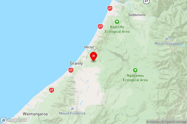
West CoastStockton Region Map
Coordinates
-41.6279833,171.8927917 (latitude/longitude)Distances
The distance from Stockton, Westport, Buller District to NZ Top 10 Cities