Cape Foulwind Suburbs & Region, Cape Foulwind Map & Postcodes in Cape Foulwind, Buller, West Coast
Cape Foulwind Postcodes, Cape Foulwind ZipCodes, Cape Foulwind , Cape Foulwind West Coast, Cape Foulwind Suburbs, Cape Foulwind Region, Cape Foulwind Map, Cape Foulwind Area
Cape Foulwind Region
Cape Foulwind Suburbs
Cape Foulwind is a suburb place type in Buller, West Coast, NZ. It contains 3 suburbs or localities.Cape Foulwind Postcodes
Cape Foulwind district
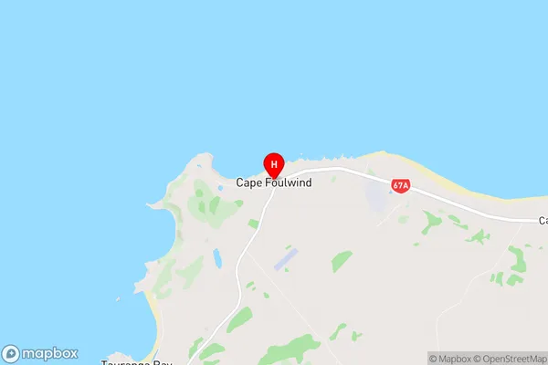
BullerCape Foulwind Region Map
Cape Foulwind Introduction
Cape Foulwind is a headland on the west coast of New Zealand's South Island. It is well-known for its strong winds, which have earned it the nickname "the windiest place in New Zealand." The cape is located at the southern end of the Otago Peninsula and is part of the Foulwind Forest Park. The area is popular with tourists who come to see the stunning coastal views and to experience the powerful winds. The cape is also home to a variety of wildlife, including seals, penguins, and albatrosses.Cape Foulwind Region
Cape Foulwind City
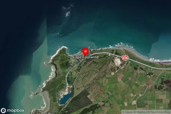
Cape Foulwind Satellite Map
Full Address
Cape Foulwind, Buller, West CoastCape Foulwind Coordinates
-41.749525,171.481942 (Latitude / Longitude)Cape Foulwind Map in NZ
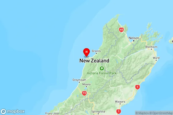
NZ Island
South IslandCountry
Cape Foulwind Suburbs (Sort by Population)
Cape Foulwind
Cape Foulwind - 207Charleston
Charleston - 139Virgin Flat
Virgin Flat - 59