Cape Foulwind Area, Cape Foulwind Postcode(7825) & Map in Cape Foulwind
Cape Foulwind Area, Cape Foulwind Postcode(7825) & Map in Cape Foulwind, Buller District, New Zealand
Cape Foulwind, Buller District, New Zealand
Cape Foulwind Postcodes
Cape Foulwind Area (estimated)
61.9 square kilometersCape Foulwind Population (estimated)
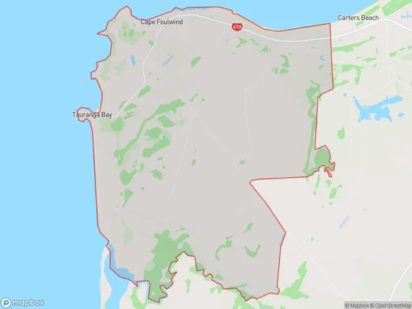
207 people live in Cape Foulwind, West Coast, NZCape Foulwind Suburb Area Map (Polygon)

Cape Foulwind Introduction
Cape Foulwind is a headland on the west coast of New Zealand's South Island. It is well-known for its strong winds, which have earned it the nickname "the windiest place in New Zealand." The cape is also home to the Cape Foulwind Lighthouse, which was built in 1848 to guide ships through the perilous waters around the cape.Region
Major City
Suburb Name
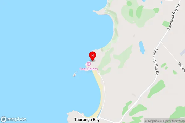
Cape FoulwindCape Foulwind Area Map (Street)

Local Authority
Buller DistrictFull Address
Cape Foulwind, Buller District, New ZealandAddress Type
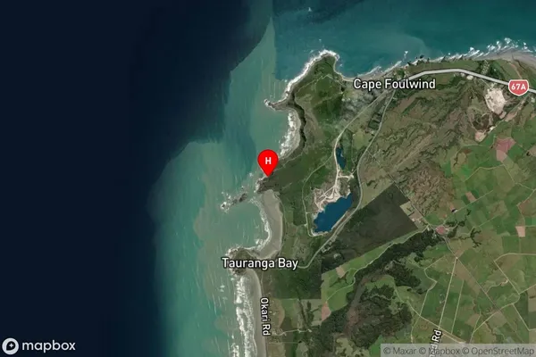
Locality in Major Locality Cape FoulwindCape Foulwind Suburb Map (Satellite)

Country
Main Region in AU
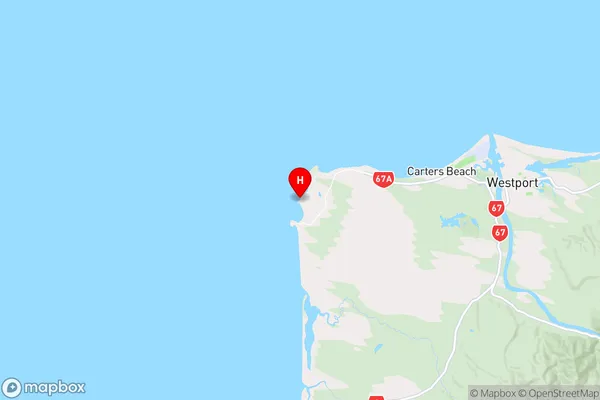
West CoastCape Foulwind Region Map

Coordinates
-41.7631008,171.4576389 (latitude/longitude)Distances
The distance from Cape Foulwind, Cape Foulwind, Buller District to NZ Top 10 Cities