Charleston Area, Charleston Postcode(7865) & Map in Charleston
Charleston Area, Charleston Postcode(7865) & Map in Charleston, Buller District, New Zealand
Charleston, Buller District, New Zealand
Charleston Postcodes
Charleston Area (estimated)
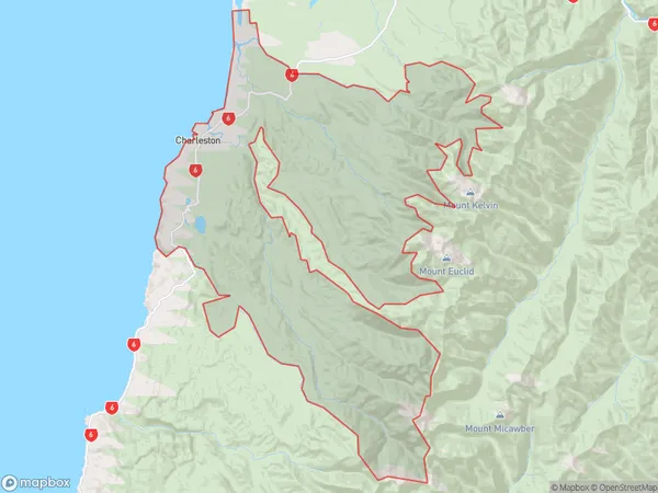
258.5 square kilometersCharleston Population (estimated)
139 people live in Charleston, West Coast, NZCharleston Suburb Area Map (Polygon)
Charleston Introduction
Charleston is a small township on the West Coast of New Zealand's South Island. It is well-known for its yellow-eyed penguins, which can be seen nesting and breeding in the area. The township also has a historic coal mining site and a beautiful beach.Region
Major City
Suburb Name
CharlestonOther Name(s)
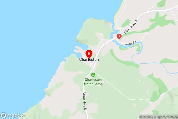
Lower BullerCharleston Area Map (Street)
Local Authority
Buller DistrictFull Address
Charleston, Buller District, New ZealandAddress Type
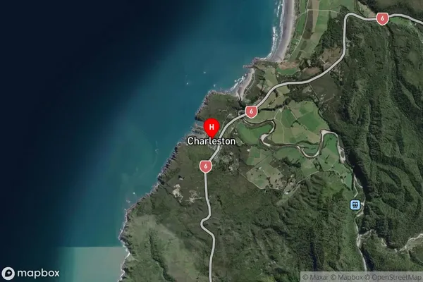
Locality in Major Locality Cape FoulwindCharleston Suburb Map (Satellite)
Country
Main Region in AU
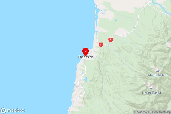
West CoastCharleston Region Map
Coordinates
-41.9046553,171.4371729 (latitude/longitude)Distances
The distance from Charleston, Cape Foulwind, Buller District to NZ Top 10 Cities