Seddonville Suburbs & Region, Seddonville Map & Postcodes in Seddonville, Buller, West Coast
Seddonville Postcodes, Seddonville ZipCodes, Seddonville , Seddonville West Coast, Seddonville Suburbs, Seddonville Region, Seddonville Map, Seddonville Area
Seddonville Region
Seddonville Suburbs
Seddonville is a suburb place type in Buller, West Coast, NZ. It contains 0 suburbs or localities.Seddonville district
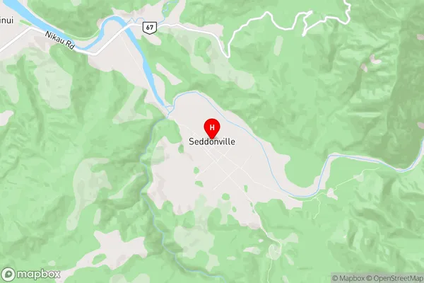
BullerSeddonville Region Map
Seddonville Introduction
Seddonville is a small West Coast town located in the Grey District of New Zealand's South Island. It is situated on the banks of the Seddon River and is approximately 120 kilometers west of Westport. The town was originally founded as a coal mining settlement but has since transitioned to a tourism-based economy, with many visitors coming to explore the nearby natural attractions such as the Franz Josef Glacier and the West Coast National Park. Seddonville is also home to a number of historic buildings, including the Seddonville Hotel, which was built in 1887.Seddonville Region
Seddonville City
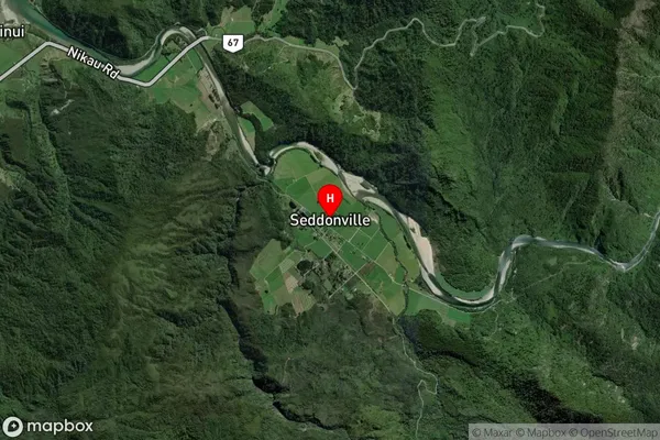
Seddonville Satellite Map
Full Address
Seddonville, Buller, West CoastSeddonville Coordinates
-41.549779,171.988487 (Latitude / Longitude)Seddonville Map in NZ
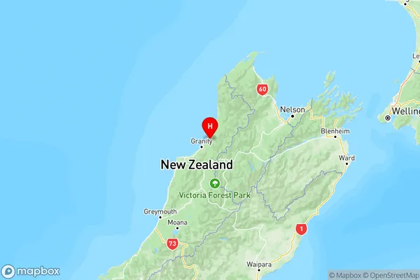
NZ Island
South IslandCountry
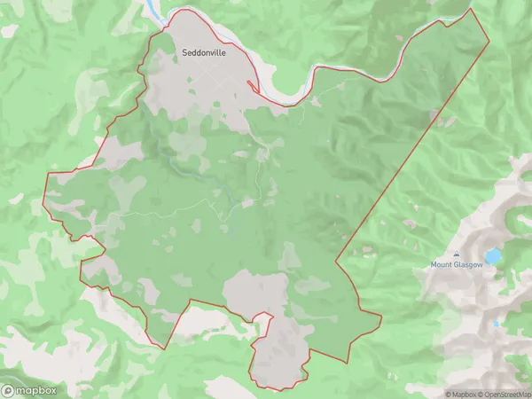
Seddonville Area Map (Polygon)
Name
SeddonvilleAdditional Name
Local Authority
Buller District
Seddonville Suburbs (Sort by Population)
Seddonville suburb has around
47.8 square
kilometers.There are more than 61 people (estimated)
live in Seddonville, Westport, West Coast, New Zealand.